 Old Cumbria Gazetteer
 |
 |
|
| Taw House, Eskdale | ||
| Taw House | ||
| locality:- | Eskdale | |
| civil parish:- | Eskdale (formerly Cumberland) | |
| county:- | Cumbria | |
| locality type:- | buildings | |
| coordinates:- | NY21060159 | |
| 1Km square:- | NY2101 | |
| 10Km square:- | NY20 | |
|
|
||
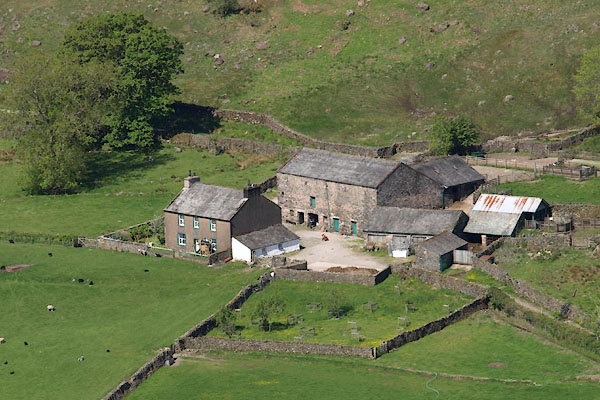 BYL70.jpg (taken 4.6.2013) 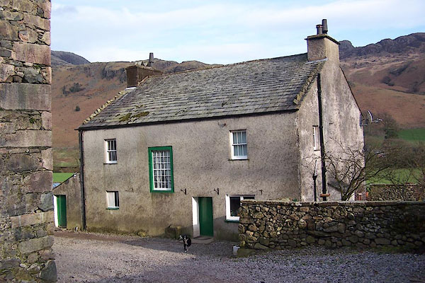 BNJ64.jpg (taken 14.3.2007) |
||
|
|
||
| evidence:- | old map:- OS County Series (Cmd 79 12) placename:- Taw House |
|
| source data:- | Maps, County Series maps of Great Britain, scales 6 and 25
inches to 1 mile, published by the Ordnance Survey, Southampton,
Hampshire, from about 1863 to 1948. |
|
|
|
||
| evidence:- | old map:- Donald 1774 (Cmd) placename:- Toes |
|
| source data:- | Map, hand coloured engraving, 3x2 sheets, The County of Cumberland, scale about 1
inch to 1 mile, by Thomas Donald, engraved and published by Joseph Hodskinson, 29
Arundel Street, Strand, London, 1774.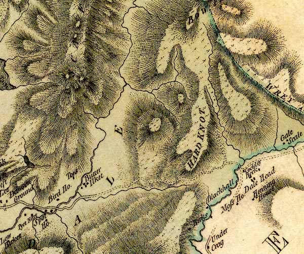 D4NY20SW.jpg "Toes" block or blocks, labelled in lowercase; a hamlet or just a house item:- Carlisle Library : Map 2 Image © Carlisle Library |
|
|
|
||
| evidence:- | old map:- Otley 1818 placename:- Toes |
|
| source data:- | Map, uncoloured engraving, The District of the Lakes,
Cumberland, Westmorland, and Lancashire, scale about 4 miles to
1 inch, by Jonathan Otley, 1818, engraved by J and G Menzies,
Edinburgh, Scotland, published by Jonathan Otley, Keswick,
Cumberland, et al, 1833.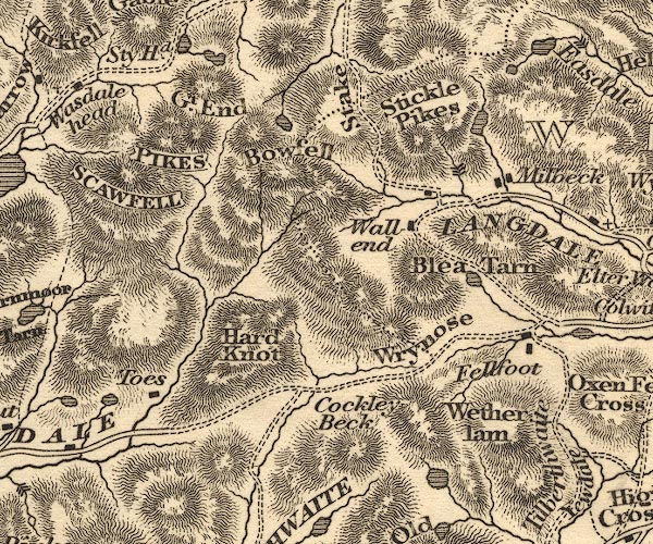 OT02NY20.jpg item:- JandMN : 48.1 Image © see bottom of page |
|
|
|
||
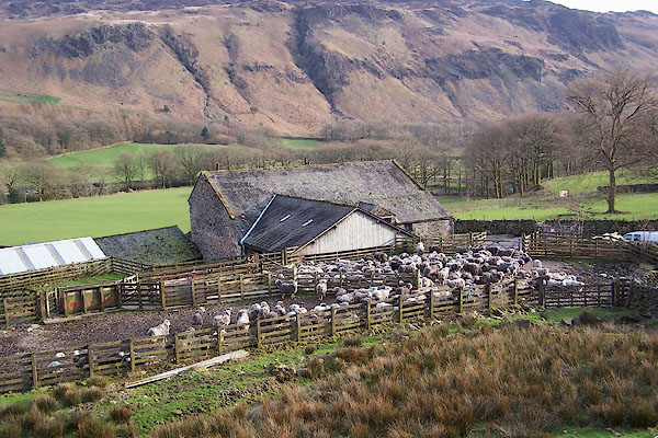 BNJ66.jpg Sheepfold full of Herdwick sheep. (taken 14.3.2007) 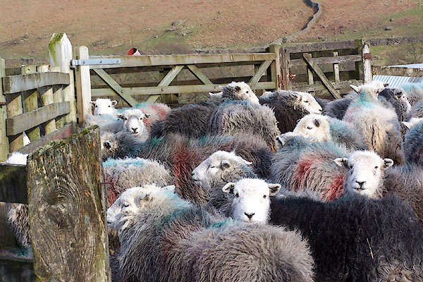 BNJ67.jpg Sheepfold full of Herdwick sheep. (taken 14.3.2007) 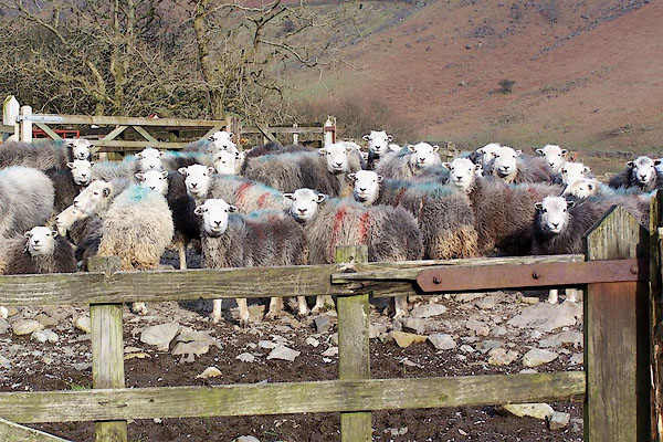 BNJ68.jpg Sheepfold full of Herdwick sheep. Smit mark - two red strokes down nearside. (taken 14.3.2007) 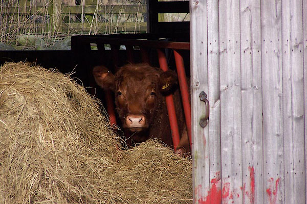 BNJ65.jpg Cattle. (taken 14.3.2007) 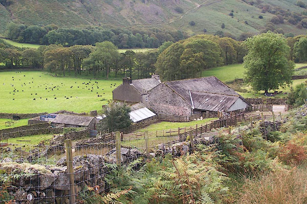 BRM30.jpg (taken 14.9.2009) |
||
|
|
||
 Lakes Guides menu.