 Old Cumbria Gazetteer
 |
 |
|
| Swirral Edge, Patterdale | ||
| Swirral Edge | ||
| site name:- | Helvellyn | |
| civil parish:- | Patterdale (formerly Westmorland) | |
| county:- | Cumbria | |
| coordinates:- | NY343154 (etc) | |
| 1Km square:- | NY3415 | |
| 10Km square:- | NY31 | |
|
|
||
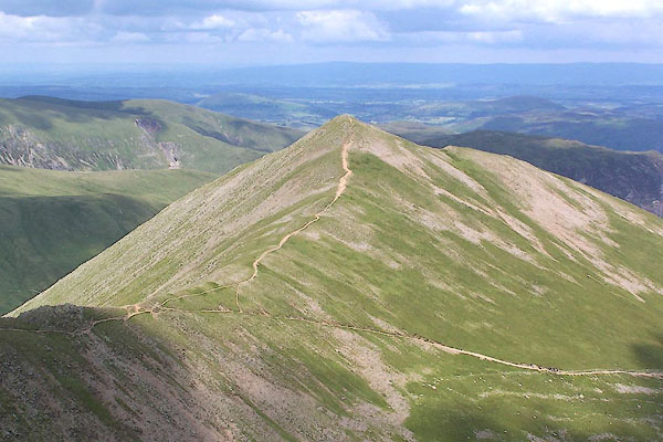 BRB62.jpg (taken 9.7.2009) 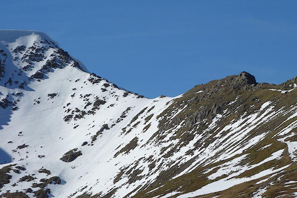 CET43.jpg (taken 14.3.2016) |
||
|
|
||
| evidence:- | descriptive text:- Otley 1823 (5th edn 1834) placename:- Swirrel Edge |
|
| source data:- | Guide book, A Concise Description of the English Lakes, the
mountains in their vicinity, and the roads by which they may be
visited, with remarks on the mineralogy and geology of the
district, by Jonathan Otley, published by the author, Keswick,
Cumberland now Cumbria, by J Richardson, London, and by Arthur
Foster, Kirkby Lonsdale, Cumbria, 1823; published 1823-49,
latterly as the Descriptive Guide to the English Lakes. goto source goto sourcePage 35:- "... Keppel Cove Tarn is ... separated from Red Tarn by a narrow mountain ridge, called Swirrel Edge, which branches off from Helvellyn and is terminated by a peak called Catsty Cam, ..." goto sourcePage 60:- "... A less difficult way [than Striding Edge] is to leave the tarn on the left hand, ascending Swirrel Edge, which is comparatively smooth; yet here is a little rocky scrambling to gain the top of the precipice; in the midst of which it will be well to halt, and take a view of Bassenthwaite Lake with its environs; which cannot be seem from the highest part of the mountain." |
|
|
|
||
| evidence:- | old photograph:- Bell 1880s-1940s |
|
| source data:- | Photograph, black and white, Swirral Edge, Helvellyn, Patterdale, Westmorland, by
Herbert Bell, photographer, Ambleside, Westmorland, 1890s.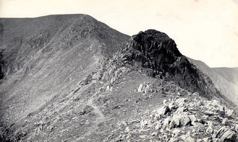 click to enlarge click to enlargeHB0608.jpg stamped on reverse:- "HERBERT BELL / Photographer / AMBLESIDE" item:- Armitt Library : ALPS268 Image © see bottom of page |
|
|
|
||
| evidence:- | text:- Mason 1907 (edn 1930) |
|
| source data:- | Text book, The Ambleside Geography Books bk.III, The Counties of
England, by Charlotte M Mason, published by Kegan Paul, Trench,
Trubner and Co, Broadway House, 68-74 Carter Lane, and the
Parents' Educational Union Office, 26 Victoria Street, London,
edn 1930. MSN1P020.txt Page 20:- "..." "... [Red Tarn] ... is shut in between two sloping walls of rock, the Striding Edge, and the Swirral Edge,- edges indeed, for they are simply steep, narrow, broken pathways on the top of each wall of rock. If you are a good climber, and not apt to become giddy," MSN1P021.txt Page 21:- "you may make your way up by one of these edges; but beware of a false step on either side of the narrow pathway; one such step, and you are plunged down a precipice of a hundred feet." |
|
|
|
||
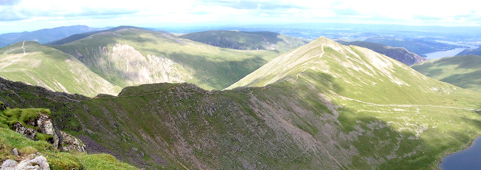
| evidence:- | outline view:- Jenkinson 1875 placename:- Swirrel Edge |
|
| source data:- | Print, lithograph, outline view, Panoramic Sketches from Helvellyn, Westmorland, by
Edwin A Pettitt, London, published by Edward Stanford, 55 Charing Cross, London, 1875. click to enlarge click to enlargeJk01E1.jpg "... Swirrel Edge ..." item:- JandMN : 28.5 Image © see bottom of page |
|
|
|
||
 Click to enlarge BRB61.jpg (taken 9.7.2009) 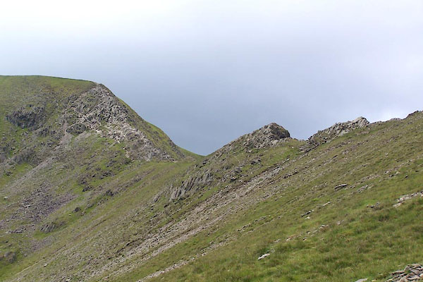 BUU99.jpg (taken 20.6.2011) 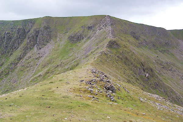 BUV01.jpg (taken 20.6.2011) 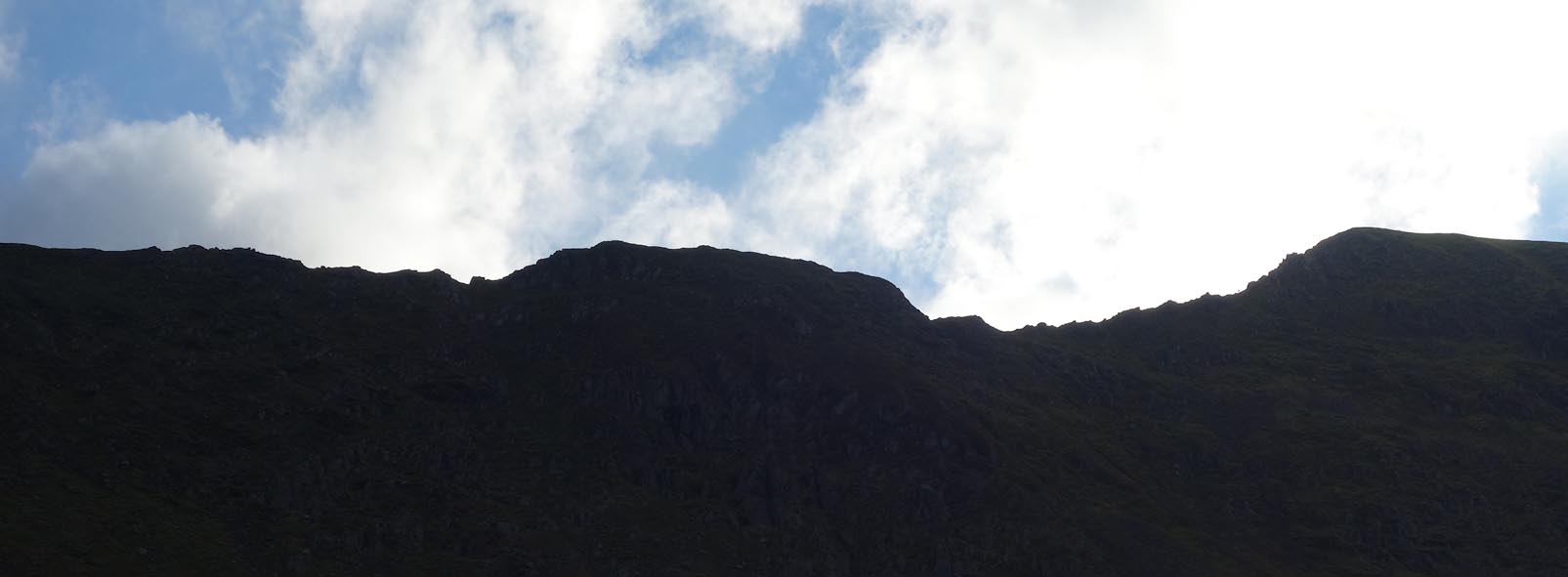 Click to enlarge CCD39.jpg from Brown Cove. (taken 18.11.2014) |
||
|
|
||
Lakes Guides menu.