 |
 |
   |
|
|
|
|
| county:- |
North Yorkshire |
| locality type:- |
river |
| 10Km square:- |
NY80 (etc) |
| 1Km square:- |
NY8000 |
| 10Km square:- |
NY80 |
|
|
| evidence:- |
old map:- Saxton 1579
placename:- Swale Flu.
|
| source data:- |
Map, hand coloured engraving, Westmorlandiae et Cumberlandiae Comitatus ie Westmorland
and Cumberland, scale about 5 miles to 1 inch, by Christopher Saxton, London, engraved
by Augustinus Ryther, 1576, published 1579-1645.
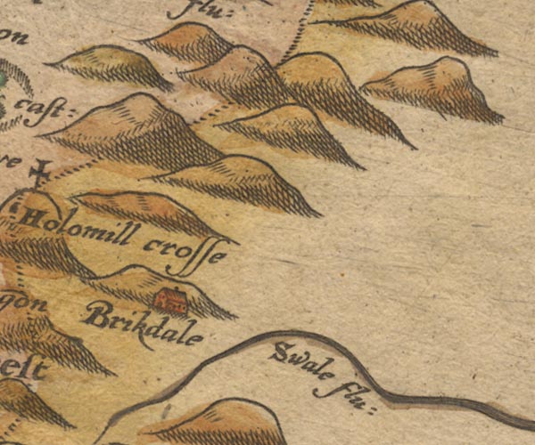
Sax9NY80.jpg
"Swale flu:"
item:- private collection : 2
Image © see bottom of page
|
|
|
| evidence:- |
old map:- Speed 1611 (Wmd)
placename:- Swals flu:
|
| source data:- |
Map, hand coloured engraving, The Countie Westmorland and
Kendale the Cheif Towne, scale about 2.5 miles to 1 inch, by
John Speed, 1610, published by George Humble, Popes Head Alley,
London, 1611-12.
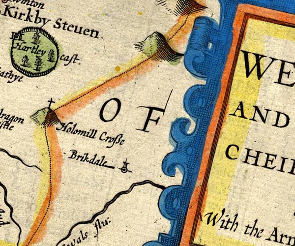
SP14NY80.jpg
"Swals flu:"
double line, flowing east
item:- Armitt Library : 2008.14.5
Image © see bottom of page
|
|
|
| evidence:- |
poem:- Drayton 1612/1622 text
placename:- Swale
|
| source data:- |
Poem, Poly Olbion, by Michael Drayton, published by published by
John Marriott, John Grismand and Thomas Dewe, and others?
London, part 1 1612, part 2 1622.
 goto source goto source
page 162:- "...
... Eden, issuing out of Husseat-Morvill Hill,
And pointing to the North, as then a little Rill,
There simply takes her leave of her sweet sister Swale,
Borne to the selfe same Sire, but with a stronger gale,
Tow'rds the Humber hyes her course, ..."
|
|
|
| evidence:- |
old map:- Jansson 1646
placename:- Swals Flud
|
| source data:- |
Map, hand coloured engraving, Cumbria and Westmoria, ie
Cumberland and Westmorland, scale about 3.5 miles to 1 inch, by
John Jansson, Amsterdam, Netherlands, 1646.
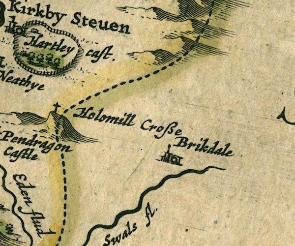
JAN3NY80.jpg
"Swals fl."
Buildings and tower.
item:- JandMN : 88
Image © see bottom of page
|
|
|
| evidence:- |
old map:- Morden 1695 (Wmd)
placename:- Swale River
|
| source data:- |
Map, hand coloured engraving, Westmorland, scale about 2.5 miles to 1 inch, by Robert
Morden, published by Abel Swale, the Unicorn, St Paul's Churchyard, Awnsham, and John
Churchill, the Black Swan, Paternoster Row, London, 1695.
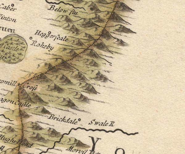
MD10NY80.jpg
"Swale R"
item:- JandMN : 24
Image © see bottom of page
|
|
|
| evidence:- |
old map:- Simpson 1746 map (Wmd)
placename:- Swale River
|
| source data:- |
Map, uncoloured engraving, Westmorland, scale about 8 miles to 1
inch, printed by R Walker, Fleet Lane, London, 1746.
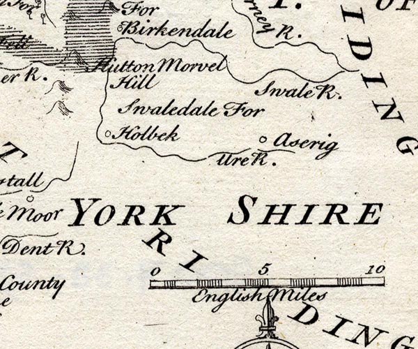
SMP2SDZ.jpg
"Swale R."
Wiggly line.
item:- Dove Cottage : 2007.38.59
Image © see bottom of page
|
|
|


 goto source


