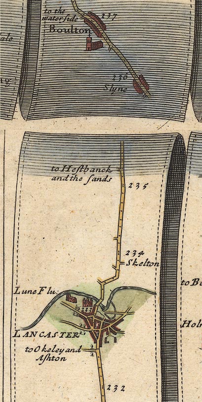


OG38m232.jpg
In mile 233, Lancashire.
The church in Lancaster, near the castle.
item:- JandMN : 21
Image © see bottom of page
 goto source
Page 24:- "... The church is a handsome Gothic structure; but the inside view of the beautiful east window is obstructed by a toll screen behind the altar, and the rest of the church is further hurt by a multiplicity of pews. The only remains it has of ancient furniture are a few turn-up seats, carved in the style of the times when it belonged to the priory of St. Martin of Sayes, in France. Some of the carvings are fine, but the figures are either gross or grotesque. This building stands on the crown of an eminence, below the castle from which it is only separated by the moat. The views from the church-yard are extensive and pleasant, particularly the grand and much admired prospects of the northern mountains. The chapel is a neat and convenient place of worship. ..."
 goto source
Addendum; Mr Gray's Journal, 1769
Page 216:- "..."
"In a fine afternoon I ascended the castle-hill; ... Near it [the castle], and but a little lower, stands the church, a large and plain gothic fabric, the high square tower at the west end has been re-built of late years, but nearly in the same style; there are no ornaments or arms, &c. any were (sic) to be seen; within it is lightsome and spacious, but not one monument of antiquity, or piece of painted glass is left. From the church-yard there is an extensive sea-view, ..."

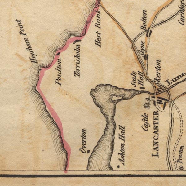
Ws02SD45.jpg
Shown by a drawing of a church.
item:- Armitt Library : A1221.1
Image © see bottom of page
 goto source
Page 170:- "The Church is an edifice chiefly erected in the 12th century. It is 143 feet in length, 58 feet in breadth, and 40 feet in height. It combines well with the Castle, of which, when viewed from a distance, it almost seems a part. The most valuable relics, the Stalls, have, says Whittaker, 'been probably removed from some more stately building.' The seats are carved underneath with grotesque figures more creditable to the artistic talent than to the delicacy of the age: they are now properly protected."
