 Old Cumbria Gazetteer
 |
 |
|
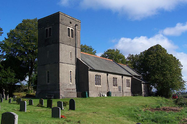
| St Catherine, Crook | ||
| St Catherine's Church | ||
| Crook Church | ||
| locality:- | Crook | |
| civil parish:- | Crook (formerly Westmorland) | |
| county:- | Cumbria | |
| locality type:- | church | |
| coordinates:- | SD45119506 | |
| 1Km square:- | SD4595 | |
| 10Km square:- | SD49 | |
| references:- | : 2005: Diocese of Carlisle, Directory 2004/5 |
|
|
|
||
 BJV02.jpg (taken 16.9.2005) 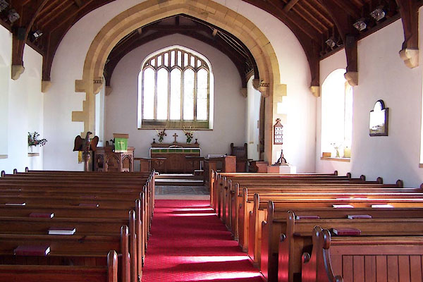 BJV03.jpg (taken 16.9.2005) |
||
|
|
||
| evidence:- | old map:- Jansson 1646 placename:- St Kathernes |
|
| source data:- | Map, hand coloured engraving, Cumbria and Westmoria, ie
Cumberland and Westmorland, scale about 3.5 miles to 1 inch, by
John Jansson, Amsterdam, Netherlands, 1646.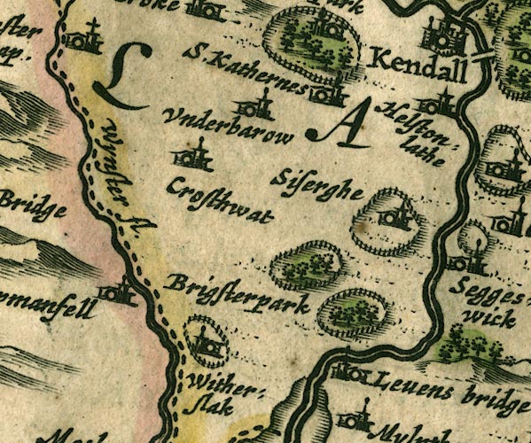 JAN3SD48.jpg "S. Kathernes" Buildings and tower. item:- JandMN : 88 Image © see bottom of page |
|
|
|
||
| evidence:- | old map:- Garnett 1850s-60s H |
|
| source data:- | Map of the English Lakes, in Cumberland, Westmorland and
Lancashire, scale about 3.5 miles to 1 inch, published by John
Garnett, Windermere, Westmorland, 1850s-60s.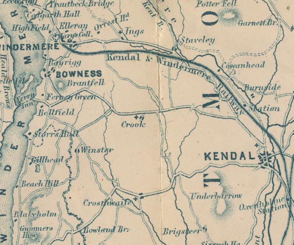 GAR2SD49.jpg cross, a church item:- JandMN : 82.1 Image © see bottom of page |
|
|
|
||
| evidence:- | old map:- Nurse 1918 |
|
| source data:- | Map, The Diocese of Carlisle, Cumberland, Westmorland, and
Lancashire North of the Sands, scale about 4 miles to 1 inch, by
Rev Euston J Nurse, published by Charles Thurnam and Sons, 11
English Street, Carlisle, Cumberland, 2nd edn 1939.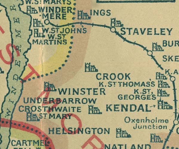 NUR1SD49.jpg "CROOK" item:- JandMN : 27 Image © see bottom of page |
|
|
|
||
 notes about bells notes about bells |
||
|
|
||
| stained glass |
||
|
|
||
| kneelers |
||
|
|
||
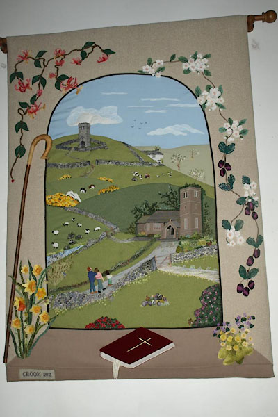 BVU98.jpg Hanging, applique embroidery, 2011 (taken 27.1.2012) 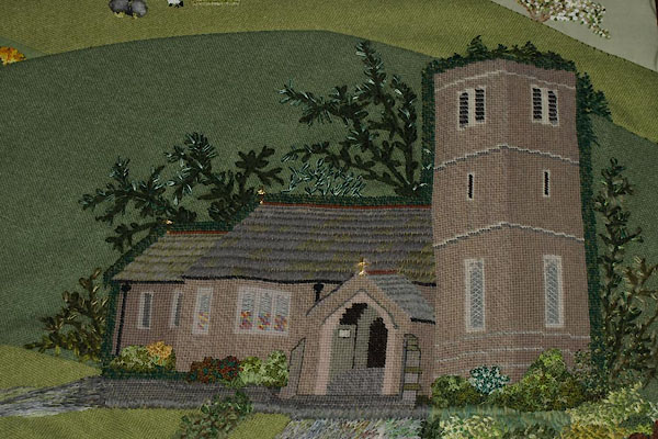 BVU99.jpg Hanging 2011, detail. (taken 27.1.2012) 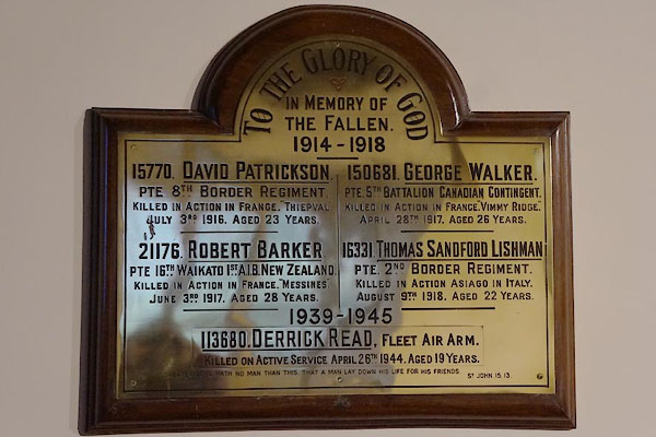 CCC74.jpg War memorial (taken 21.11.2014) 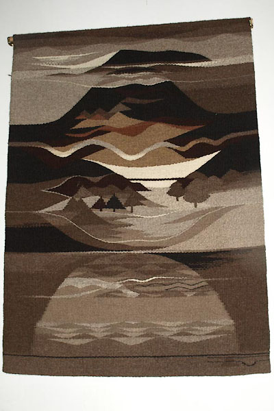 BVV04.jpg Tapestry. (taken 27.1.2012) 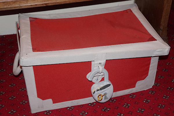 CCC77.jpg Not the parish chest, it's a toy box. (taken 27.1.2012) |
||
|
|
||
| hearsay:- |
Built about 1887 when the old church had to be demolished. |
|
|
|
||
| dedication | ||
| person:- | : St Catherine |
|
| place:- | Crook / Carlisle Diocese | |
|
|
||
 Lakes Guides menu.