 Old Cumbria Gazetteer
 |
 |
|
| South Head, St Bees Head | ||
| South Head | ||
| site name:- | St Bees Head | |
| civil parish:- | St Bees (formerly Cumberland) | |
| county:- | Cumbria | |
| locality type:- | headland | |
| coordinates:- | NX95191220 (etc) | |
| 1Km square:- | NX9512 | |
| 10Km square:- | NX91 | |
|
|
||
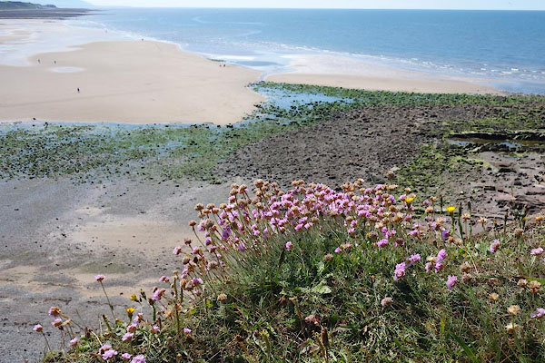
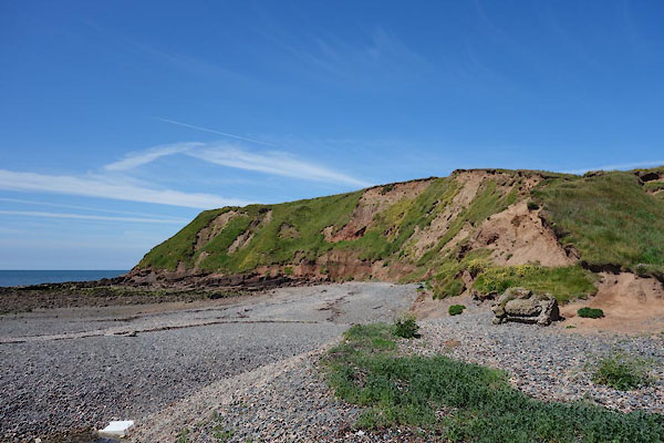 CDK97.jpg (taken 23.6.2015) 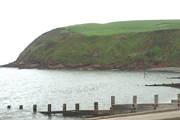 BPQ55.jpg (taken 24.8.2008) |
||
|
|
||
| evidence:- | old map:- OS County Series (Cmd 72 1) placename:- South Head |
|
| source data:- | Maps, County Series maps of Great Britain, scales 6 and 25
inches to 1 mile, published by the Ordnance Survey, Southampton,
Hampshire, from about 1863 to 1948. |
|
|
|
||
| evidence:- | old map:- Donald 1774 (Cmd) placename:- South Head |
|
| source data:- | Map, hand coloured engraving, 3x2 sheets, The County of Cumberland, scale about 1
inch to 1 mile, by Thomas Donald, engraved and published by Joseph Hodskinson, 29
Arundel Street, Strand, London, 1774.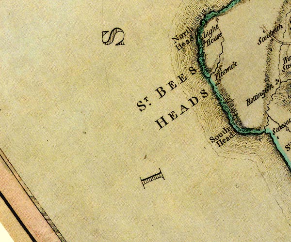 D4NX91SW.jpg "South Head" headland item:- Carlisle Library : Map 2 Image © Carlisle Library |
|
|
|
||
| evidence:- | old map:- Ford 1839 map placename:- South Head |
|
| source data:- | Map, uncoloured engraving, Map of the Lake District of
Cumberland, Westmoreland and Lancashire, scale about 3.5 miles
to 1 inch, published by Charles Thurnam, Carlisle, and by R
Groombridge, 5 Paternoster Row, London, 3rd edn 1843.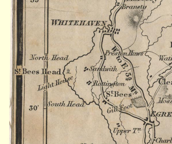 FD02NX91.jpg "South Head" Headland. item:- JandMN : 100.1 Image © see bottom of page |
|
|
|
||
 CDK98.jpg Thrift, Armeria maritima. (taken 23.6.2015) 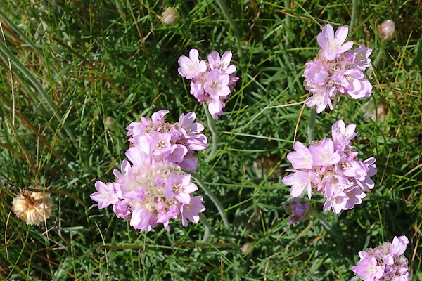 CDK99.jpg Thrift, Armeria maritima. (taken 23.6.2015) 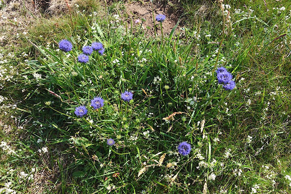 CDL15.jpg Devil's bit scabious, Succisa pratensis. (taken 23.6.2015) 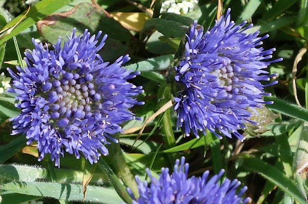 CDL16.jpg Devil's bit scabious, Succisa pratensis. (taken 23.6.2015) 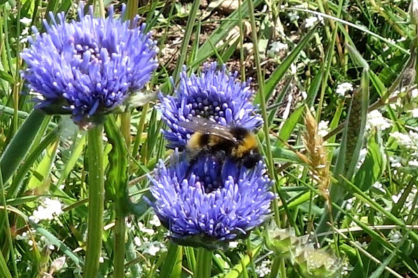 CDL17.jpg Devil's bit scabious, Succisa pratensis. (taken 23.6.2015) |
||
|
|
||
 Lakes Guides menu.