 Old Cumbria Gazetteer
 |
 |
|
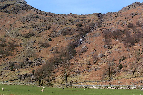
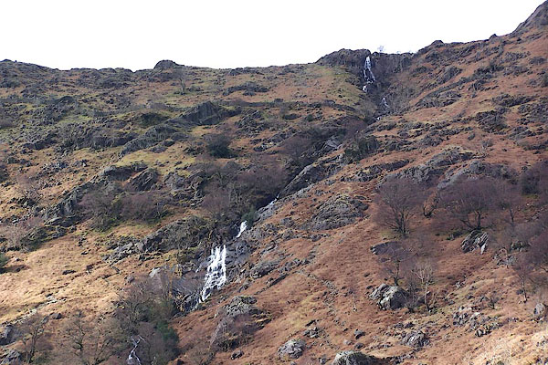
| Sour Milk Gill (2) | ||
| Sour Milk Gill | ||
| locality:- | Seathwaite | |
| civil parish:- | Borrowdale (formerly Cumberland) | |
| county:- | Cumbria | |
| locality type:- | river | |
| 1Km square:- | NY2212 | |
| 10Km square:- | NY21 | |
|
|
||
 BLY03.jpg (taken 24.4.2006) 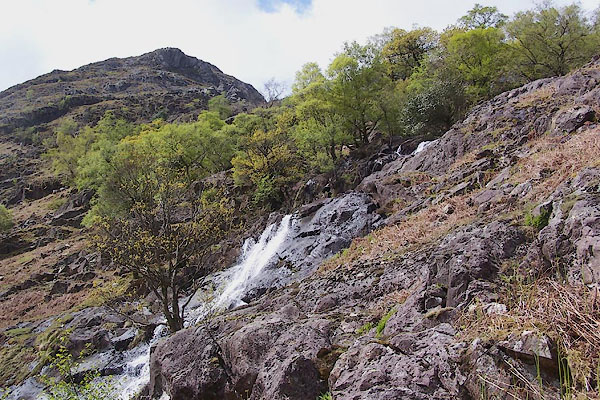 BSU03.jpg (taken 26.2.2007) |
||
|
|
||
| evidence:- | descriptive text:- Otley 1823 (5th edn 1834) |
|
| source data:- | Guide book, A Concise Description of the English Lakes, the
mountains in their vicinity, and the roads by which they may be
visited, with remarks on the mineralogy and geology of the
district, by Jonathan Otley, published by the author, Keswick,
Cumberland now Cumbria, by J Richardson, London, and by Arthur
Foster, Kirkby Lonsdale, Cumbria, 1823; published 1823-49,
latterly as the Descriptive Guide to the English Lakes. goto source goto sourcePage 46:- "SOUR-MILK GILL is a name applied to some mountain torrents, on account of their frothy whiteness resembling Butter-milk from the churn. We have Sour-milk Gill near Buttermere, Sour-milk Gill in Grasmere, and Sour-milk Gill near the Black-lead Mine in Borrowdale." |
|
|
|
||
| evidence:- | old map:- Garnett 1850s-60s H placename:- Sourmilk Gill |
|
| source data:- | Map of the English Lakes, in Cumberland, Westmorland and
Lancashire, scale about 3.5 miles to 1 inch, published by John
Garnett, Windermere, Westmorland, 1850s-60s.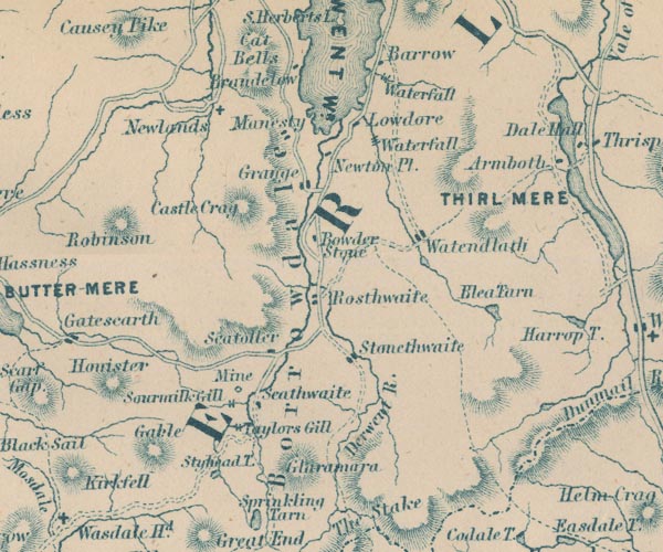 GAR2NY21.jpg "Sourmilk Gill" two lines across a stream, waterfall item:- JandMN : 82.1 Image © see bottom of page |
|
|
|
||
 BNG34.jpg (taken 26.2.2007) 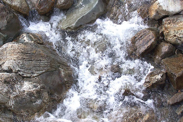 BNG64.jpg (taken 26.2.2007) 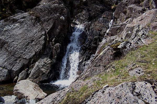 BSU04.jpg (taken 26.2.2007) 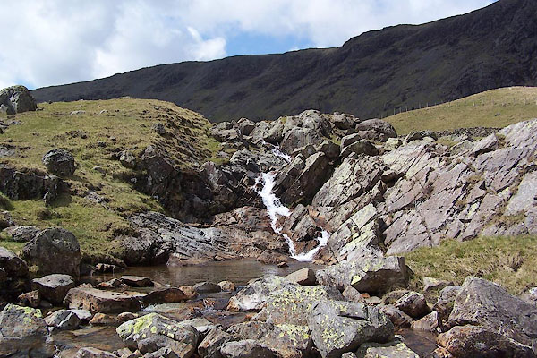 BSU05.jpg (taken 26.2.2007) |
||
|
|
||
Lakes Guides menu.