 Old Cumbria Gazetteer
 |
 |
|
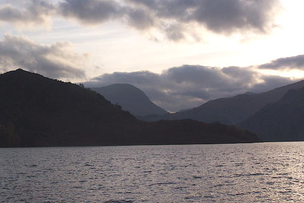
| Silver Point, Patterdale | ||
| Silver Point | ||
| site name:- | Ullswater | |
| civil parish:- | Patterdale (formerly Westmorland) | |
| county:- | Cumbria | |
| locality type:- | headland | |
| coordinates:- | NY39531844 | |
| 1Km square:- | NY3918 | |
| 10Km square:- | NY31 | |
|
|
||
 BMY35.jpg (taken 2.11.2006) |
||
|
|
||
| evidence:- | old map:- Crosthwaite 1783-94 (Ull) |
|
| source data:- | Map, uncoloured engraving, Accurate Map of the Beautiful Lake of
Ullswater, scale about 3 inches to 1 mile, by Peter Crosthwaite,
Keswick, Cumberland, 1783, version published 1800.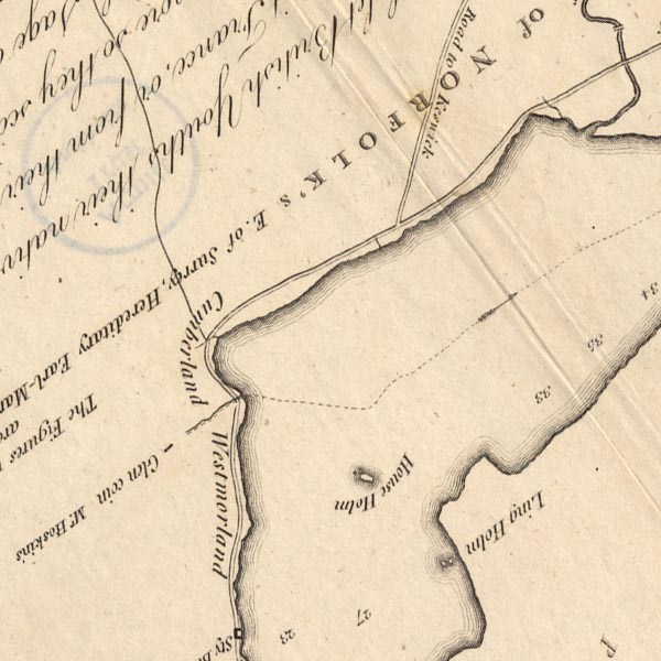 CT5NY31Z.jpg item:- Armitt Library : 1959.191.7 Image © see bottom of page |
|
|
|
||
| evidence:- | old map:- Clarke 1787 map (Ullswater) placename:- Silveray |
|
| source data:- | Map, A Map of the Lake Ullswater and its Environs, scale about
6.5 ins to 1 mile, by James Clarke, engraved by S J Neele, 352
Strand, published by James Clarke, Penrith, Cumberland and in
London etc, 1787.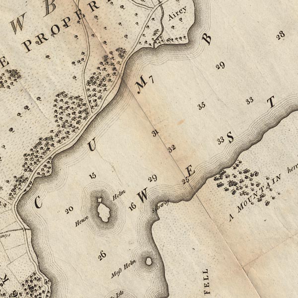 CL4NY31Z.jpg "Silveray" item:- private collection : 10.4 Image © see bottom of page |
|
|
|
||
| evidence:- | old text:- Green 1814 placename:- Silvery Point |
|
| source data:- | Set of prints, soft ground etchings, Sixty Small Prints, with
text, A Description of a Series of Sixty Small Prints, by
William Green, Ambleside, Westmorland, 1814. goto source goto sourcepage 31:- "... Silvery Point, which is a part of Place Fell, stretches far into the lake, and wonderfully relieves this charming distance by the boldness of the contrast." |
|
|
|
||
Lakes Guides menu.