Old Cumbria Gazetteer
 |
 |
|
||
| Settlebeck Gill | ||||
| runs into:- |  Rawthey, River Rawthey, River |
|||
|
|
||||
| locality:- | Sedbergh | |||
| civil parish:- | Sedbergh (formerly Yorkshire) | |||
| county:- | Cumbria | |||
| locality type:- | river | |||
| 1Km square:- | SD6693 (etc) | |||
| 10Km square:- | SD69 | |||
|
|
||||
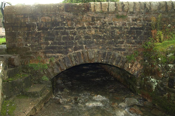
 BOY12.jpg (taken 31.3.2008) 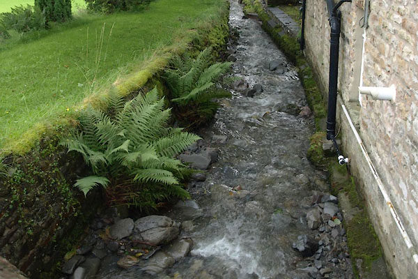 BVI27.jpg at Settlebeck Bridge, (taken 10.9.2011) |
||||
|
|
||||
| evidence:- | old map:- OS County Series (Yrk 48 15) placename:- Settlebeck Gill |
|||
| source data:- | Maps, County Series maps of Great Britain, scales 6 and 25
inches to 1 mile, published by the Ordnance Survey, Southampton,
Hampshire, from about 1863 to 1948. |
|||
|
|
||||
| evidence:- | old map:- Jefferys 1770 (Wmd) |
|||
| source data:- | Map, 4 sheets, The County of Westmoreland, scale 1 inch to 1
mile, surveyed 1768, and engraved and published by Thomas
Jefferys, London, 1770.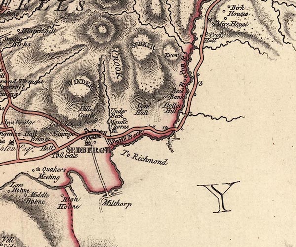 J5SD69SE.jpg single or double wiggly line; river item:- National Library of Scotland : EME.s.47 Image © National Library of Scotland |
|||
|
|
||||
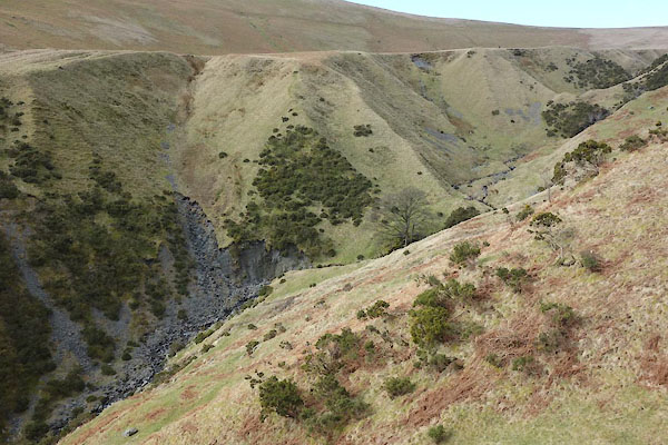 CCP53.jpg (taken 10.3.2015) 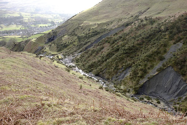 CCP54.jpg (taken 10.3.2015) 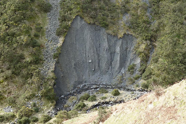 CCP55.jpg Erosion on a meander. (taken 10.3.2015) 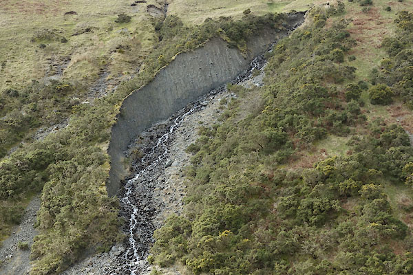 CCP56.jpg Erosion on a side stream. (taken 10.3.2015) |
||||
|
|
||||
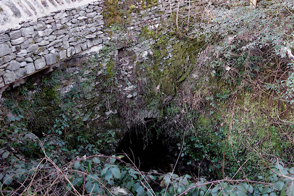
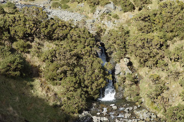 CCP57.jpg Waterfall, (taken 10.2015) 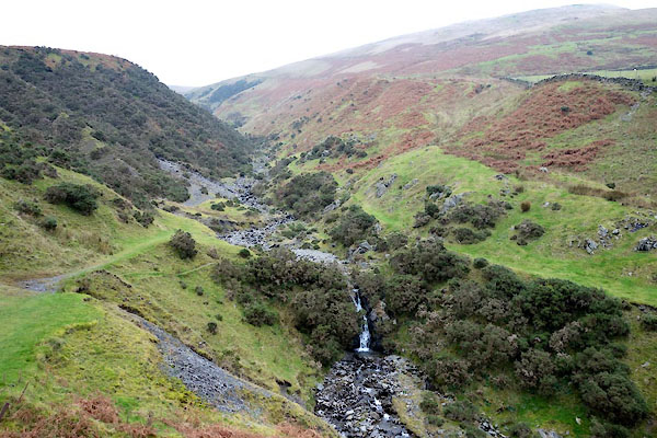 BZR73.jpg Waterfall, (taken 22.11.2013) 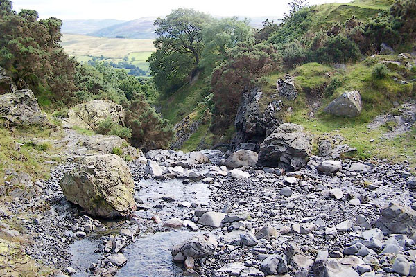 BRH45.jpg Waterfall, (taken 13.8.2009) 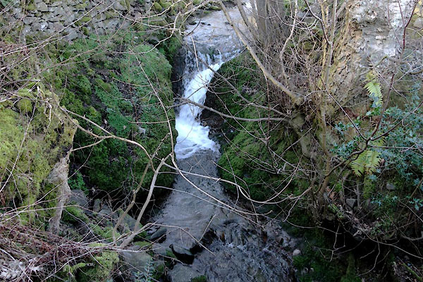 CCP59.jpg At a bridge, (taken 10.3.2015) |
||||
|
|
||||
| places:- |
|
|||
|
||||
Lakes Guides menu.