 Old Cumbria Gazetteer
 |
 |
|
| Robinson Crags, Above Derwent | ||
| Robinson Crags | ||
| site name:- | Robinson | |
| civil parish:- | Above Derwent (formerly Cumberland) | |
| county:- | Cumbria | |
| locality type:- | rocks | |
| coordinates:- | NY201172 | |
| 1Km square:- | NY2017 | |
| 10Km square:- | NY21 | |
|
|
||
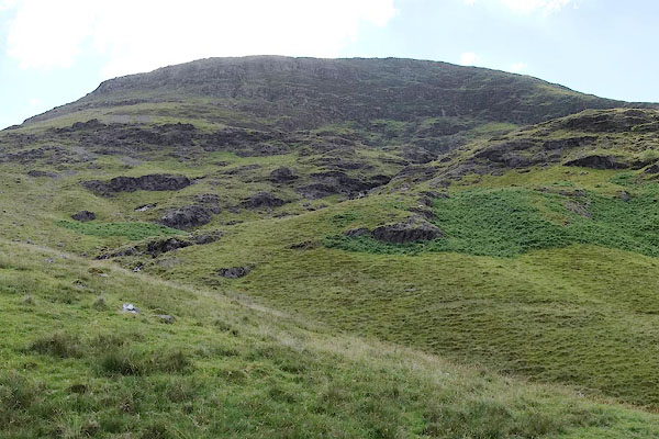 CBB04.jpg (taken 9.7.2014) |
||
|
|
||
| evidence:- | old map:- OS County Series (Cmd 69 3) placename:- Robinson Crags |
|
| source data:- | Maps, County Series maps of Great Britain, scales 6 and 25
inches to 1 mile, published by the Ordnance Survey, Southampton,
Hampshire, from about 1863 to 1948. OS County Series (Cmd 69 4) |
|
|
|
||
| evidence:- | probably descriptive text:- West 1778 (11th edn 1821) |
|
| source data:- | Guide book, A Guide to the Lakes, by Thomas West, published by
William Pennington, Kendal, Cumbria once Westmorland, and in
London, 1778 to 1821. goto source goto sourcePage 133:- "... approaching the head of Newland-hawse, on the left, a mountain of purple-coloured rock presents a thousand gaping chasms, excavated by torrents that fall into a bason, formed in the bosom of the mountain, and from thence precipitating themselves over a wall of rock, become a brook below. In front is a vast rocky mountain, the barrier of the dell, that opposes itself to all further access. ..." |
|
|
|
||
Lakes Guides menu.