 Old Cumbria Gazetteer
 |
 |
|
| Peel Wyke, Wythop | ||
| Peel Wyke | ||
| Peil Wyke | ||
| civil parish:- | Wythop (formerly Cumberland) | |
| county:- | Cumbria | |
| locality type:- | buildings | |
| locality type:- | locality | |
| coordinates:- | NY20323082 | |
| 1Km square:- | NY2030 | |
| 10Km square:- | NY23 | |
| SummaryText:- | House by the lake shore, and the locality. | |
|
|
||
| evidence:- | old map:- OS County Series (Cmd 55 3) placename:- Peel Wyke placename:- Pheasant Inn |
|
| source data:- | Maps, County Series maps of Great Britain, scales 6 and 25
inches to 1 mile, published by the Ordnance Survey, Southampton,
Hampshire, from about 1863 to 1948. |
|
|
|
||
| evidence:- | old map:- Donald 1774 (Cmd) placename:- Pull Wike |
|
| source data:- | Map, hand coloured engraving, 3x2 sheets, The County of Cumberland, scale about 1
inch to 1 mile, by Thomas Donald, engraved and published by Joseph Hodskinson, 29
Arundel Street, Strand, London, 1774.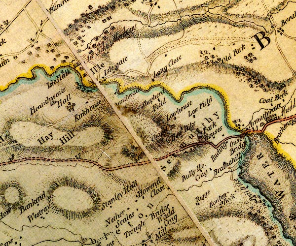 D4NY13SE.jpg "Pull Wike" block or blocks, labelled in lowercase; a hamlet or just a house item:- Carlisle Library : Map 2 Image © Carlisle Library |
|
|
|
||
| evidence:- | old map:- Crosthwaite 1783-94 (Bas) placename:- Peelewike |
|
| source data:- | Map, uncoloured engraving, An Accurate Map of Broadwater or
Bassenthwaite Lake, scale about 3 inches to 1 mile, by Peter
Crosthwaite, Keswick, Cumberland, 1783, version published 1800.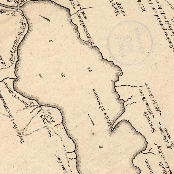 CT6NY23A.jpg "Peelewike / Sir F. F. Vane's Bart." item:- Armitt Library : 1959.191.4 Image © see bottom of page |
|
|
|
||
| evidence:- | old map:- Clarke 1787 map (Bassenthwaite Lake) placename:- Peelwike |
|
| source data:- | Map, A Map of Broadwater and its Environs, ie Bassenthwaite
Lake, scale about 6.5 ins to 1 mile, by James Clarke, engraved
by Neele, 352 Strand, published by James Clarke, Penrith,
Cumberland and in London etc, 1787.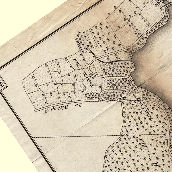 CL8NY13V.jpg "Peelwike / J. Bell" item:- private collection : 10.8 Image © see bottom of page |
|
|
|
||
| evidence:- | old map:- Otley 1818 placename:- Peel Wyke |
|
| source data:- | Map, uncoloured engraving, The District of the Lakes,
Cumberland, Westmorland, and Lancashire, scale about 4 miles to
1 inch, by Jonathan Otley, 1818, engraved by J and G Menzies,
Edinburgh, Scotland, published by Jonathan Otley, Keswick,
Cumberland, et al, 1833.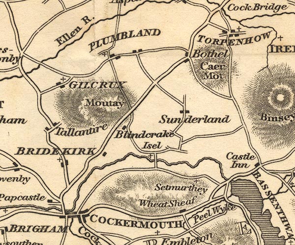 OT02NY13.jpg item:- JandMN : 48.1 Image © see bottom of page |
|
|
|
||
| evidence:- | old map:- Ford 1839 map placename:- Peel Wyke |
|
| source data:- | Map, uncoloured engraving, Map of the Lake District of
Cumberland, Westmoreland and Lancashire, scale about 3.5 miles
to 1 inch, published by Charles Thurnam, Carlisle, and by R
Groombridge, 5 Paternoster Row, London, 3rd edn 1843.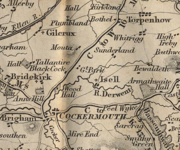 FD02NY13.jpg "Peel Wyke" item:- JandMN : 100.1 Image © see bottom of page |
|
|
|
||
| story:- |
This is where the last fairy in Cumberland was seen. A climber who had just left the
Pheasant, home of a good homebrew beer, was going through castle How where he stumbled
over a stone. Turning round he saw a little man in green, when he looked again the
little fellow asn't there. ... |
|
|
|
||
 Lakes Guides menu.