 Old Cumbria Gazetteer
 |
 |
|
| Outhgill, Mallerstang | ||
| Outhgill | ||
| locality:- | Mallerstang | |
| civil parish:- | Mallerstang (formerly Westmorland) | |
| county:- | Cumbria | |
| locality type:- | buildings | |
| coordinates:- | NY78290158 (etc) | |
| 1Km square:- | NY7801 | |
| 10Km square:- | NY70 | |
|
|
||
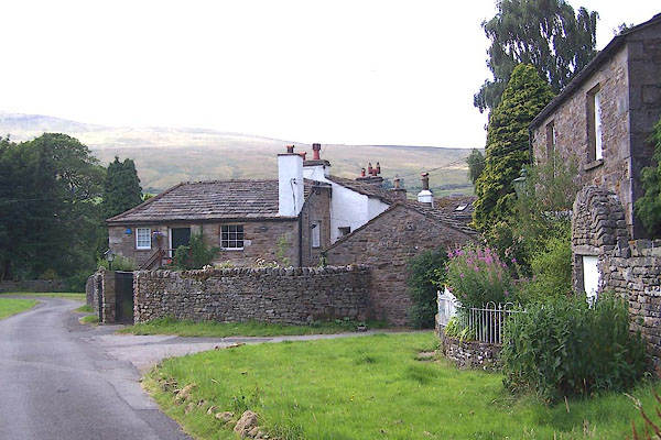 BMK68.jpg (taken 21.7.2006) |
||
|
|
||
| evidence:- | old map:- OS County Series (Wmd 30 15) placename:- Outhgill |
|
| source data:- | Maps, County Series maps of Great Britain, scales 6 and 25
inches to 1 mile, published by the Ordnance Survey, Southampton,
Hampshire, from about 1863 to 1948. |
|
|
|
||
| evidence:- | probably old map:- Jansson 1646 placename:- Mallerstange |
|
| source data:- | Map, hand coloured engraving, Cumbria and Westmoria, ie
Cumberland and Westmorland, scale about 3.5 miles to 1 inch, by
John Jansson, Amsterdam, Netherlands, 1646.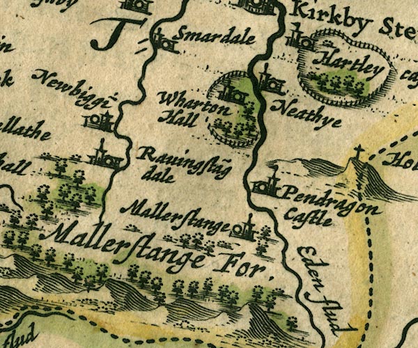 JAN3NY70.jpg "Mallerstange" Buildings and tower. item:- JandMN : 88 Image © see bottom of page |
|
|
|
||
| evidence:- | old map:- Jefferys 1770 (Wmd) placename:- Earth Gill |
|
| source data:- | Map, 4 sheets, The County of Westmoreland, scale 1 inch to 1
mile, surveyed 1768, and engraved and published by Thomas
Jefferys, London, 1770.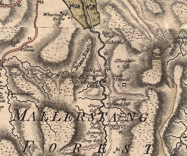 J5NY70SE.jpg "Earth Gill" circle, labelled in italic lowercase text; settlement, farm, house, or hamlet? item:- National Library of Scotland : EME.s.47 Image © National Library of Scotland |
|
|
|
||
| evidence:- | old map:- Cary 1789 (edn 1805) placename:- Earth Gill |
|
| source data:- | Map, uncoloured engraving, Westmoreland, scale about 2.5 miles
to 1 inch, by John Cary, London, 1789; edition 1805.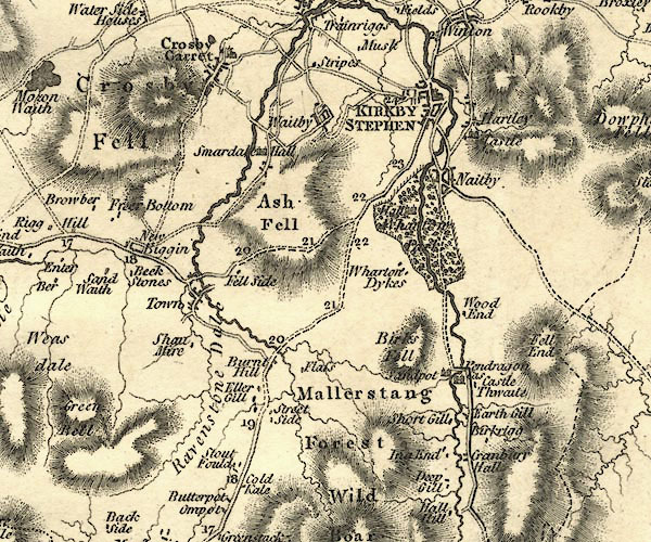 CY24NY70.jpg "Earth Gill" block/s, labelled in italic lowercase; house, or hamlet item:- JandMN : 129 Image © see bottom of page |
|
|
|
||
| hearsay:- |
The father of Michael Faraday was blacksmith here. |
|
|
|
||
 Lakes Guides menu.