Old Cumbria Gazetteer
 |
 |
|
||
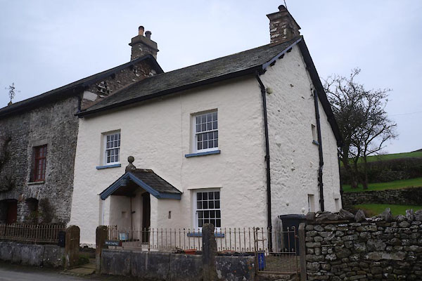
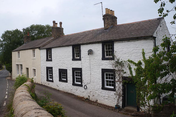
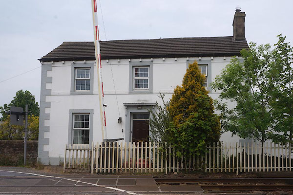
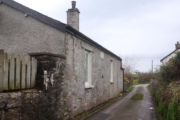
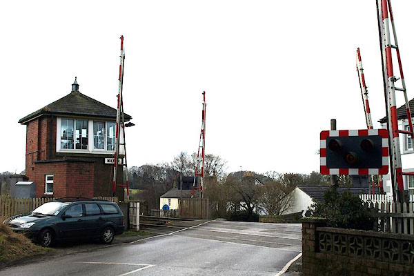
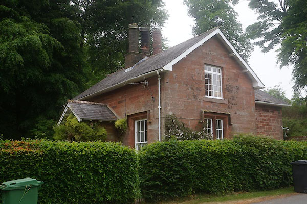
| Milton, Brampton | ||||
| Milton | ||||
| civil parish:- | Brampton (formerly Cumberland) | |||
| county:- | Cumbria | |||
| locality type:- | locality | |||
| locality type:- | buildings | |||
| coordinates:- | NY55476053 (etc) | |||
| 1Km square:- | NY5560 | |||
| 10Km square:- | NY56 | |||
|
|
||||
| evidence:- | old map:- Ogilby 1675 (plate 86) placename:- Milton |
|||
| source data:- | Road strip map, uncoloured engraving, the Road from Tinmouth ...
to Carlisle, scale about 1 inch to 1 mile, by John Ogilby,
London, 1675.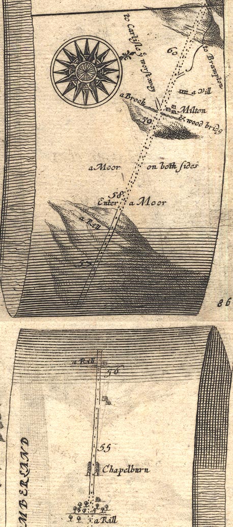 OG86m055.jpg In mile 59, Cumberland. "Milton" houses on the right of the road. item:- JandMN : 73 Image © see bottom of page |
|||
|
|
||||
| evidence:- | old map:- Bowen 1720 (plate 232) placename:- Milton |
|||
| source data:- | Road strip map, road map, pl.232, part of The Road from Tinmouth
to Carlisle, scale about 2 miles to 1 inch, with sections in
Northumberland and Cumberland, published by Emanuel Bowen, St
Katherines, London, 1720.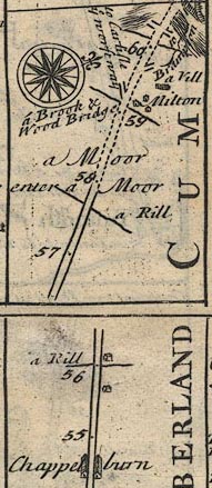 B232m55.jpg "Milton" Buildings north of road; mile 59. item:- JandMN : 65.232 Image © see bottom of page |
|||
|
|
||||
| evidence:- | old map:- Bowen and Kitchin 1760 placename:- Milton |
|||
| source data:- | Map, hand coloured engraving, A New Map of the Counties of
Cumberland and Westmoreland Divided into their Respective Wards,
scale about 4 miles to 1 inch, by Emanuel Bowen and Thomas
Kitchin et al, published by T Bowles, Robert Sayer, and John
Bowles, London, 1760.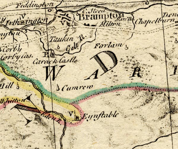 BO18NY55.jpg "Milton" blocks, on road item:- Armitt Library : 2008.14.10 Image © see bottom of page |
|||
|
|
||||
| evidence:- | old map:- Donald 1774 (Cmd) placename:- Milton |
|||
| source data:- | Map, hand coloured engraving, 3x2 sheets, The County of Cumberland, scale about 1
inch to 1 mile, by Thomas Donald, engraved and published by Joseph Hodskinson, 29
Arundel Street, Strand, London, 1774.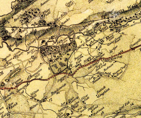 D4NY56SE.jpg "Milton" block or blocks, labelled in lowercase; a hamlet or just a house item:- Carlisle Library : Map 2 Image © Carlisle Library |
|||
|
|
||||
| evidence:- | old map:- Ford 1839 map placename:- Milton |
|||
| source data:- | Map, uncoloured engraving, Map of the Lake District of
Cumberland, Westmoreland and Lancashire, scale about 3.5 miles
to 1 inch, published by Charles Thurnam, Carlisle, and by R
Groombridge, 5 Paternoster Row, London, 3rd edn 1843.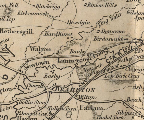 FD02NY56.jpg "Milton" item:- JandMN : 100.1 Image © see bottom of page |
|||
|
|
||||
| places:- |
|
|||
|
||||
|
||||
|
||||
|
||||
|
||||
|
||||
|
||||
|
||||
|
||||
|
||||
|
||||
|
||||
|
||||
|
||||
|
||||
|
||||
|
||||
|
||||
|
||||
 Lakes Guides menu.