 Old Cumbria Gazetteer
 |
 |
|
| Yews, Crosthwaite and Lyth | ||
| civil parish:- | Crosthwaite and Lyth (formerly Westmorland) | |
| county:- | Cumbria | |
| locality type:- | buildings | |
| coordinates:- | SD42879111 | |
| 1Km square:- | SD4291 | |
| 10Km square:- | SD49 | |
|
|
||
| evidence:- | old map:- OS County Series (Wmd 37 12) placename:- Low Yews placename:- Yews, Low |
|
| source data:- | Maps, County Series maps of Great Britain, scales 6 and 25
inches to 1 mile, published by the Ordnance Survey, Southampton,
Hampshire, from about 1863 to 1948. |
|
|
|
||
| evidence:- | old map:- Jefferys 1770 (Wmd) placename:- Yews |
|
| source data:- | Map, 4 sheets, The County of Westmoreland, scale 1 inch to 1
mile, surveyed 1768, and engraved and published by Thomas
Jefferys, London, 1770.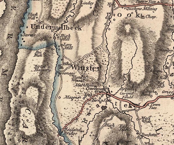 J5SD49SW.jpg "Yews" circle, labelled in italic lowercase text; settlement, farm, house, or hamlet? item:- National Library of Scotland : EME.s.47 Image © National Library of Scotland |
|
|
|
||
| evidence:- | old map:- Otley 1818 placename:- Yews |
|
| source data:- | Map, uncoloured engraving, The District of the Lakes,
Cumberland, Westmorland, and Lancashire, scale about 4 miles to
1 inch, by Jonathan Otley, 1818, engraved by J and G Menzies,
Edinburgh, Scotland, published by Jonathan Otley, Keswick,
Cumberland, et al, 1833.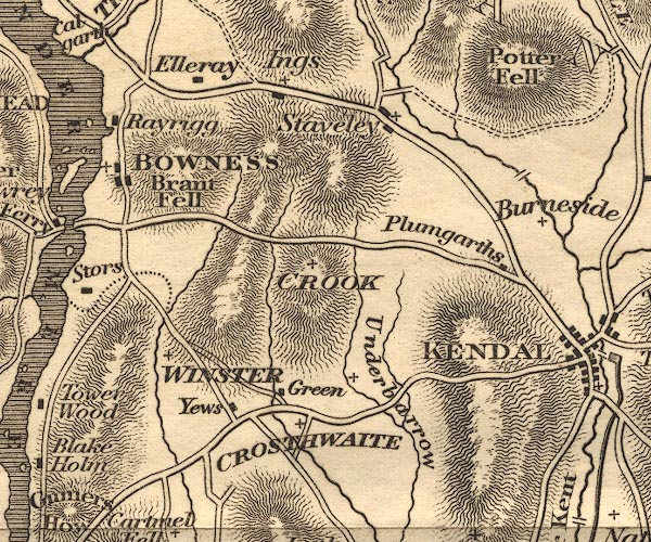 OT02SD49.jpg item:- JandMN : 48.1 Image © see bottom of page |
|
|
|
||
 Lakes Guides menu.