 |
 |
   |
|
|
|
Lanthwaite |
| civil parish:- |
Buttermere (formerly Cumberland) |
| county:- |
Cumbria |
| locality type:- |
locality |
| locality type:- |
buildings |
| locality type:- |
flood |
| coordinates:- |
NY15912078 (etc) |
| 1Km square:- |
NY1520 |
| 10Km square:- |
NY12 |
|
|
| evidence:- |
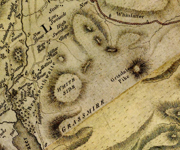
old map:- Donald 1774 (Cmd)
placename:- Longthwaite
|
| source data:- |
Map, hand coloured engraving, 3x2 sheets, The County of Cumberland, scale about 1
inch to 1 mile, by Thomas Donald, engraved and published by Joseph Hodskinson, 29
Arundel Street, Strand, London, 1774.

D4NY12SE.jpg
"Longthwaite"
block or blocks, labelled in lowercase; a hamlet or just a house
item:- Carlisle Library : Map 2
Image © Carlisle Library |
|
|
| evidence:- |
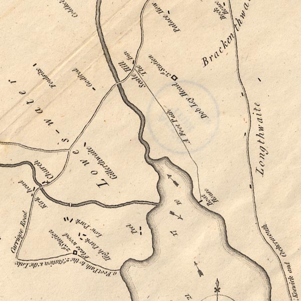
old map:- Crosthwaite 1783-94 (But/Cru/Low)
placename:- Longthwaite
|
| source data:- |
Map, uncoloured engraving, An Accurate Map of Buttermere,
Crummock and Loweswater Lakes, scale about 3 inches to 1 mile,
by Peter Crosthwaite, Keswick, Cumberland, 1794, version
published 1800.

CT8NY12K.jpg
"Longthwaite"
item:- Armitt Library : 1959.191.2
Image © see bottom of page
|
|
|
| evidence:- |
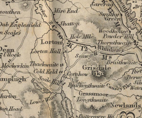
old map:- Ford 1839 map
placename:- Longthwaite
|
| source data:- |
Map, uncoloured engraving, Map of the Lake District of
Cumberland, Westmoreland and Lancashire, scale about 3.5 miles
to 1 inch, published by Charles Thurnam, Carlisle, and by R
Groombridge, 5 Paternoster Row, London, 3rd edn 1843.

FD02NY12.jpg
"Longthwaite"
item:- JandMN : 100.1
Image © see bottom of page
|
|
|
| evidence:- |
old text:- Martineau 1855
item:- storm, 1760; waterspout; flood, 1760; weather
|
| source data:- |
Guide book, A Complete Guide to the English Lakes, by Harriet
Martineau, published by John Garnett, Windermere, Westmorland,
and by Whittaker and Co, London, 1855; published 1855-76.
 goto source goto source
Page 131:- "... The most tremendous waterspout remembered in the region of the lakes, descended
the ravine between Grassmoor and Whiteside, in 1760. It swept the whole side of Grassmoor
at midnight, and carried down everything that was lying loose all through the vale
below, and"
 goto source goto source
Page 132:- "over a piece of arable land at the entrance, where it actually peeled the whole surface,
carrying away the soil and the trees, and leaving the rocky substratum completely
bare. The soil was many feet deep, and the trees fullgrown. Then it laid down what
it brought, covering ten acres with the rubbish. By the channel left, it appears that
the flood must have been five or six yards deep, and a hundred yards wide. Among other
pranks, it rooted up a solid stone causeway, which was supported by an embankment
apparently as strong as the neighbouring hills. The flood not only swept away the
whole work, but scooped out the entire line for its own channel. ..."
|
|
|
hearsay:-
|
A terrible waterspout was described in:-
|
|
Gilpin, John: 1772: Observations Relative Chiefly to Picturesque Beauty
|
|
This was probably a cloudburst in the hills which flooded down the gully onto Lanthwaite
Green:-
|
|
"... charging itself with all the rubbish it found there it made its way into the vale.
At the foot of the mountain it was received by a piece of arable ground; on which
its violence first broke. Here it tore away trees, soil and gravel; and laid bare,
many feet in depth to the naked rock. Over the next ten acres it seems to have made
an immense roll; covering them with so vast a bed of stones that no human art can
ever again restore the soil. When we saw the place, tho' twelve years after the event,
many marks remained, still flagrant of this scene of ruin."
|
|
The flood was diverted from Brackenthwaite by the rock on which the houses stood,
and fell into the River Cocker, causing more flooding.
|
|
|
| places:- |
 |
NY15482056 boat house, Crummock Water (Buttermere) |
|
|
 |
NY15692036 High Wood (Buttermere) |
|
|
 |
NY15862062 Lanthwaite Cottage (Buttermere) |
|
|
 |
NY15802107 Lanthwaite Gate (Buttermere) |
|
|
 |
NY15882085 Lanthwaite Green Farm (Buttermere) |
|
|
 |
NY15312092 Lanthwaite Wood (Buttermere) |
|
|
 |
NY15982127 Peel Place (Buttermere) |
|
|
 |
NY15992103 settlement, Lanthwaite (Buttermere) |
|


 goto source
 goto source


