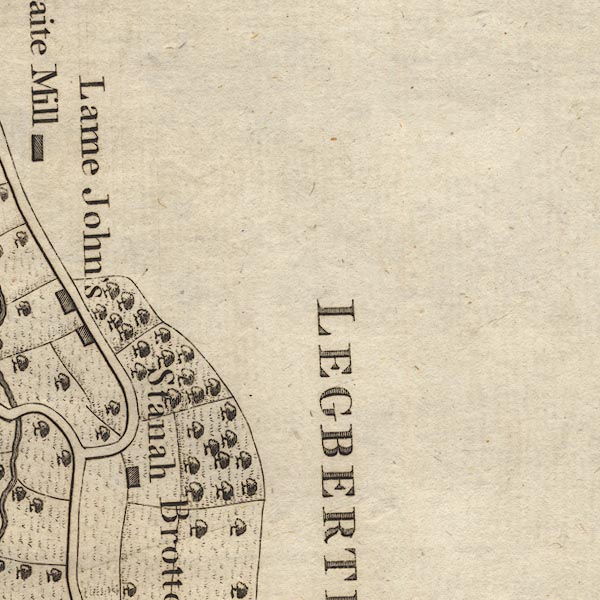


placename:- Lame John's
item:- storm, 1749; rain; flood, 1749; brewing
 goto source
Page 116:- "..."
"... the violence of the water-spout A.D. 1749, ... of which we gave some account before. The second house above, called Lame John's, escaped by the water breaking on a rock above it called Green Cragg; hither were the inhabitants carried from the tops of their houses, which were found, after the inundation ceased, filled with sand and mud. ..."
"This Lame John's has been kept as a public house many years; but is so distant from the residence of the gauger, that he only visits it once a month, when the inhabitants give him notice at what time they intend to brew next: at one of these visits he found an old woman brewing so very small a quantity, that he was vexed at being summoned upon so fruitless an errand: she told him he might stay at home, for she brewed as she could afford. Small indeed was the quantity she could afford; - it was half-a-peck!"
placename:- Lame John's

CL9NY31J.jpg
"Lame John's"
item:- private collection : 10.9
Image © see bottom of page
