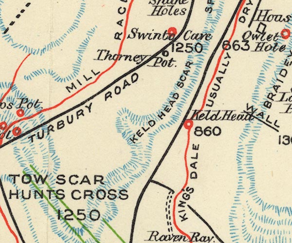


placename:- Keld's Head
 goto source
Tour to the Caves in the West Riding of Yorkshire, late 18th century
Page 245:- "... About a mile higher [than Thornton Force] we came to the head of the river, which issues from one fountain called Keld's-head, [1] to all appearance more copious than St. Winifred's Well, in Flintshire; though there is a broken, serpentine, irregular channel, extending to the top of the vale, down which a large stream is poured from the mountains in rainy weather. ..."
"[1] Keld seems the ancient Saxon or British word for spring or fountain and is often made use of in that sense in these parts of Yorkshire"
placename:- Keld Head

BS1SD67Y.jpg
"Keld Head"
item:- private collection : 27.1
Image © see bottom of page
