Old Cumbria Gazetteer
 |
 |
|
||
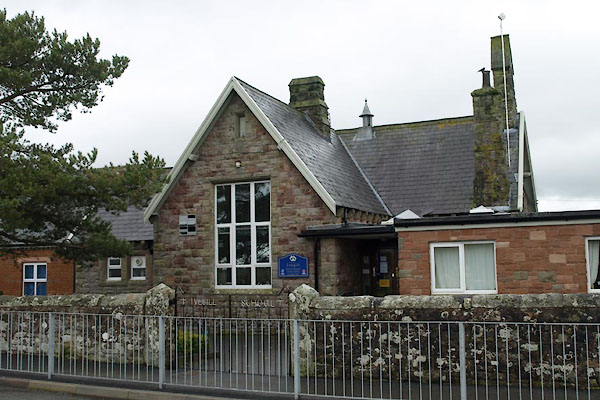
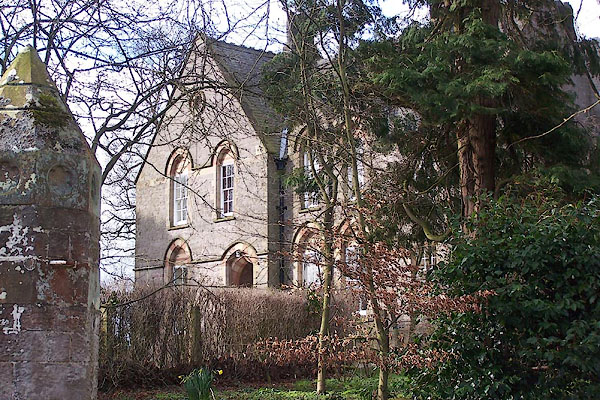
| Ivegill, Hesket | ||||
| Ivegill | ||||
| civil parish:- | Hesket (formerly Cumberland) | |||
| civil parish:- | Skelton (formerly Cumberland) | |||
| county:- | Cumbria | |||
| locality type:- | locality | |||
| locality type:- | buildings | |||
| coordinates:- | NY41664310 (etc) | |||
| 1Km square:- | NY4143 | |||
| 10Km square:- | NY44 | |||
|
|
||||
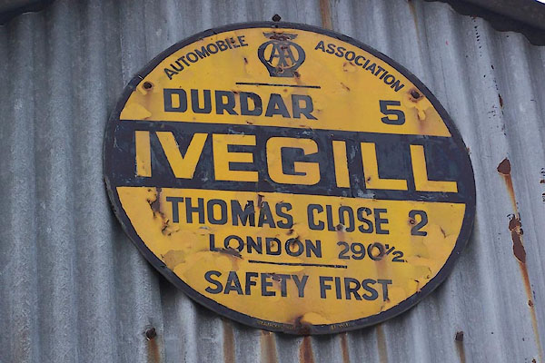 BNH85.jpg AA village sign, on the garage. (taken 9.3.2007) |
||||
|
|
||||
| evidence:- | old map:- OS County Series (Cmd 38 4) placename:- Ivegill |
|||
| source data:- | Maps, County Series maps of Great Britain, scales 6 and 25
inches to 1 mile, published by the Ordnance Survey, Southampton,
Hampshire, from about 1863 to 1948. |
|||
|
|
||||
| evidence:- | old map:- Garnett 1850s-60s H placename:- Ivegill |
|||
| source data:- | Map of the English Lakes, in Cumberland, Westmorland and
Lancashire, scale about 3.5 miles to 1 inch, published by John
Garnett, Windermere, Westmorland, 1850s-60s.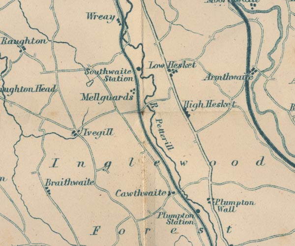 GAR2NY44.jpg "Ivegill" blocks, settlement item:- JandMN : 82.1 Image © see bottom of page |
|||
|
|
||||
| places:- |
|
|||
|
||||
|
||||
|
||||
|
||||
|
||||
|
||||
|
||||
 Lakes Guides menu.