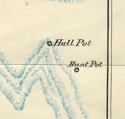


placename:- Huntpit Hole
Tour to the Caves in the West Riding of Yorkshire, late 18th century
 goto source
Page 275:- "..."
"... About a mile or two above Horton, upon the base of Pennegant, we visited Hulpit and Huntpit-holes. The one, if we could have descended into it, would have appeared like the inside of an enormous old Gothic castle, the high ruinous walls of which were left standing after the roof was fallen in: the other was like a deep funnel, and it was dangerous to come near its edges. Horton-beck, or brook, runs through the one, and Bransil-beck through the other of these pits, but through which I cannot remember: ..."
placename:- Hunt Pot

BS1SD87H.jpg
"Hunt Pot"
item:- private collection : 27.1
Image © see bottom of page
