 Old Cumbria Gazetteer
 |
 |
|
| Guides Farm, Kents Bank | ||
| Guides Farm | ||
| Guide's Farm | ||
| Street:- | Cart Lane | |
| locality:- | Kents Bank | |
| civil parish:- | Grange-over-Sands (formerly Lancashire) | |
| county:- | Cumbria | |
| locality type:- | buildings | |
| coordinates:- | SD40077646 | |
| 1Km square:- | SD4076 | |
| 10Km square:- | SD47 | |
|
|
||
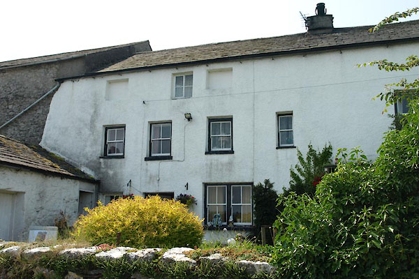 BYS30.jpg (taken 5.7.2013) |
||
|
|
||
| evidence:- | old map:- West 1784 map placename:- Carter House |
|
| source data:- | Map, hand coloured engraving, A Map of the Lakes in Cumberland,
Westmorland and Lancashire, scale about 3.5 miles to 1 inch,
engraved by Paas, 53 Holborn, London, about 1784.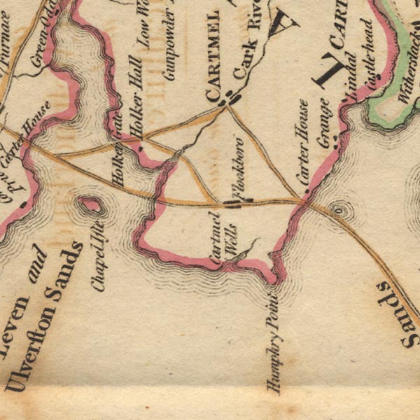 Ws02SD37.jpg item:- Armitt Library : A1221.1 Image © see bottom of page |
|
|
|
||
| evidence:- | old map:- Laurie and Whittle 1806 placename:- Carter House placename:- Guides House |
|
| source data:- | Road map, Completion of the Roads to the Lakes, scale about 10
miles to 1 inch, by Nathaniel Coltman? 1806, published by Robert
H Laurie, 53 Fleet Street, London, 1834. click to enlarge click to enlargeLw18.jpg "Carter or Guides H[ou] 252" house; distance from London item:- private collection : 18.18 Image © see bottom of page |
|
|
|
||
| evidence:- | old map:- Ford 1839 map placename:- Guide's House |
|
| source data:- | Map, uncoloured engraving, Map of the Lake District of
Cumberland, Westmoreland and Lancashire, scale about 3.5 miles
to 1 inch, published by Charles Thurnam, Carlisle, and by R
Groombridge, 5 Paternoster Row, London, 3rd edn 1843.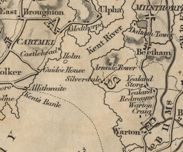 FD02SD47.jpg "Guide's House" item:- JandMN : 100.1 Image © see bottom of page |
|
|
|
||
| evidence:- | database:- Listed Buildings 2010 placename:- Guides Farm |
|
| source data:- | courtesy of English Heritage "GUIDES FARMHOUSE AND ATTACHED FARM BUILDINGS / / CART LANE / GRANGE OVER SANDS / SOUTH LAKELAND / CUMBRIA / II / 460506 / SD4007876467" |
|
| source data:- | courtesy of English Heritage "House and attached farm buildings. Mid or late C17 with C18 and C19 additions and alterations. House of painted roughcast, barn of exposed limestone rubble, and single-storey range of painted rubble and brick. Slate roofs. Comprises a house to the north, a taller bank barn to the south with its main upper doorway on the west side, and a single-storey range projecting towards the east from the junction between house and barn. The house is of 3-cell plan and of 2 storeys plus attic. The windows have plain reveals and projecting sills and are mostly sashed. On the ground floor there are 3 windows (the middle one with paired sashes) and on the 1st floor there are 5. The attic has one casement window set between 2 blind recesses. To the right of the 1st window is a door with plain reveals. To the left of the right-hand window is a 2nd door with plain reveals which has a flat stone hood on brackets. Chimneys on right-hand gable and to left of 2nd doorway. The north wall of the single-storey range contains 2 doorways and has a chimney on the ridge. The barn has openings with plain reveals and rough stone arches. At the lower level there are 2 shippon doorways, a central cart store doorway, and a small window at the left. At the upper level there is a central threshing door." "INTERIOR: the central room on the ground floor has 2 main ceiling beams with sunken quadrant mouldings, the right-hand one originally serving as a firehood bressumer. The room is divided from the southern room by a stone partition wall. The rear staircase is said to be of stone, now covered with timber. The house is the residence of the official guide for the oversands route." |
|
|
|
||
 Lakes Guides menu.