Old Cumbria Gazetteer
 |
 |
|
||
| Grains Gill | ||||
| runs into:- |  Derwent, River Derwent, River |
|||
|
|
||||
| locality:- | Grains | |||
| civil parish:- | Borrowdale (formerly Cumberland) | |||
| county:- | Cumbria | |||
| locality type:- | river | |||
| locality type:- | valley | |||
| 1Km square:- | NY2310 | |||
| 10Km square:- | NY21 | |||
|
|
||||
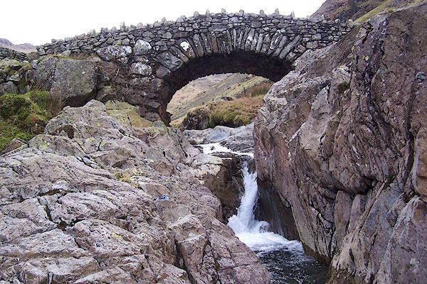
 BNG77.jpg At Stockley Bridge. (taken 26.2.2007) 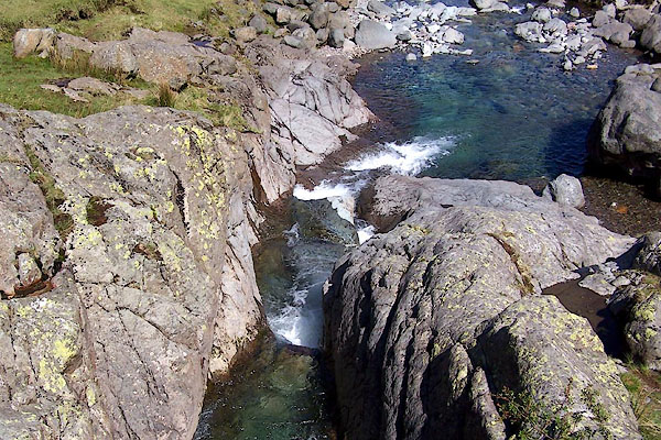 BQO05.jpg At Stockley Bridge. (taken 12.5.2009) |
||||
|
|
||||
| evidence:- | old map:- Donald 1774 (Cmd) |
|||
| source data:- | Map, hand coloured engraving, 3x2 sheets, The County of Cumberland, scale about 1
inch to 1 mile, by Thomas Donald, engraved and published by Joseph Hodskinson, 29
Arundel Street, Strand, London, 1774.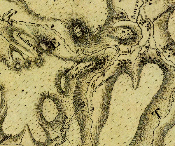 D4NY21SW.jpg single or double wiggly line; a river item:- Carlisle Library : Map 2 Image © Carlisle Library |
|||
|
|
||||
| evidence:- | old map:- West 1784 map |
|||
| source data:- | Map, hand coloured engraving, A Map of the Lakes in Cumberland,
Westmorland and Lancashire, scale about 3.5 miles to 1 inch,
engraved by Paas, 53 Holborn, London, about 1784.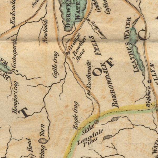 Ws02NY21.jpg item:- Armitt Library : A1221.1 Image © see bottom of page |
|||
|
|
||||
| evidence:- | old print:- Green 1810 (plate 45) |
|||
| source data:- | Print, soft ground etching, Stockley Bridge, Borrowdale, Cumberland, by William Green,
Ambleside, Westmorland, 1808.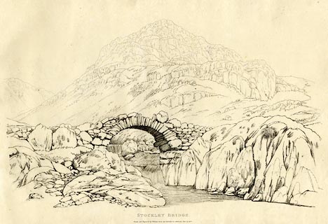 click to enlarge click to enlargeGN1245.jpg Plate 45 in Sixty Studies from Nature, 1810. printed at top right:- "45" printed at bottom:- "STOCKLEY BRIDGE. / Drawn and Engraved by William Green, and Published at Ambleside, June 24, 1808." watermark:- "J WHATMAN / 1813" item:- Armitt Library : A6641.45 Image © see bottom of page |
|||
|
|
||||
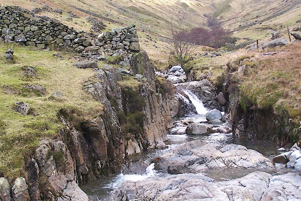
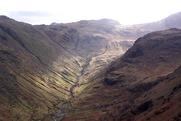 BNG60.jpg The dale head. (taken 26.2.2007) 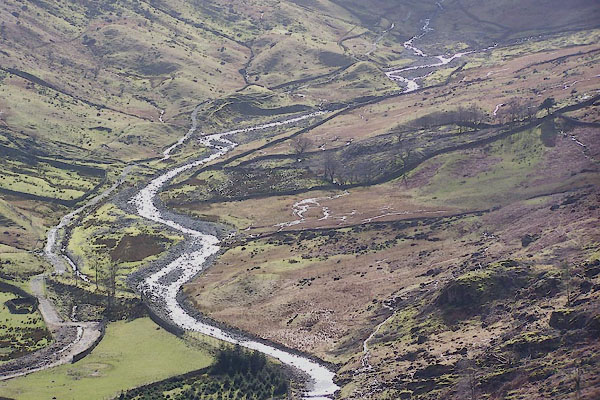 BNG45.jpg High up, in Grains. (taken 26.2.2007)  BNG36.jpg At the footbridge in Seathwaite. (taken 26.2.2007) 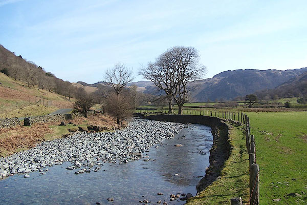 BLY09.jpg From Seathwaite Bridge (if this Grains Gill in this reach). (taken 24.4.2006) |
||||
|
|
||||
| places:- |
|
|||
Lakes Guides menu.