 |
 |
   |
|
|
|
Fawe Park |
| civil parish:- |
Above Derwent (formerly Cumberland) |
| county:- |
Cumbria |
| locality type:- |
park |
| coordinates:- |
NY25172256 (etc) |
| 1Km square:- |
NY2522 |
| 10Km square:- |
NY22 |
|
|
| evidence:- |
old map:- OS County Series (Cmd 64 5)
placename:- Fawe Park
|
| source data:- |
Maps, County Series maps of Great Britain, scales 6 and 25
inches to 1 mile, published by the Ordnance Survey, Southampton,
Hampshire, from about 1863 to 1948.
|
|
|
| evidence:- |
descriptive text:- West 1778 (11th edn 1821)
placename:- Foe Park
placename:- Park
|
| source data:- |
Guide book, A Guide to the Lakes, by Thomas West, published by
William Pennington, Kendal, Cumbria once Westmorland, and in
London, 1778 to 1821.
 goto source goto source
Page 90:- "[Derwent Water] ... Foe-park, a round hill completely clothed in wood, ..."
 goto source goto source
Addendum; Mr Gray's Journal, 1769
Page 207:- "..."
"Oct. 5. ... through Portinscale village to the Park, a hill so called, covered entirely
with wood; it is a mass of crumbling slate. Passed round its foot, between trees and
the edge of the water, and came to a peninsula that juts out into the lake, ..."
|
|
|
| evidence:- |
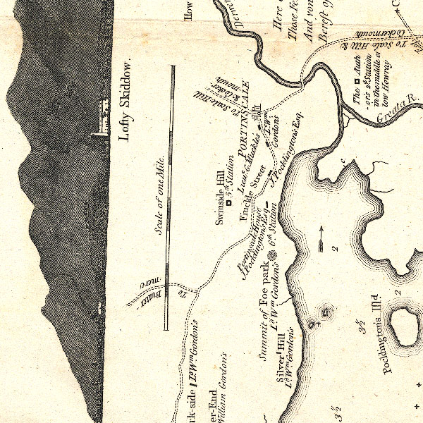
old map:- Crosthwaite 1783-94 (Der)
placename:- Foe Park
|
| source data:- |
Map, uncoloured engraving, An Accurate Map of the Matchless Lake
of Derwent, ie Derwent Water, scale about 3 inches to 1 mile, by
Peter Crosthwaite, Keswick, Cumberland, 1783, version published
1800.

CT2NY22K.jpg
"Summit of Foe park / Ld. Wm. Gordon's / 6th. Station"
item:- Armitt Library : 1959.191.3
Image © see bottom of page
|
|
|
| evidence:- |
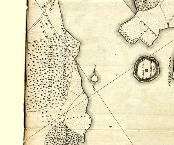
old map:- Clarke 1787 map (Der)
placename:- Fall Park
|
| source data:- |
Map, uncoloured engraving, Map of Derwentwater and its Environs,
scale about 13 ins to 1 mile, by James Clarke, engraved by S J
Neele, published by James Clarke, Penrith, Cumberland and in
London etc, 1787.

CL152522.jpg
"FALL PARK / JOS. POCKLINGTON ESQ."
woodland
item:- private collection : 169
Image © see bottom of page
|
|
|


 goto source
 goto source

