Old Cumbria Gazetteer
 |
 |
|
||
| Dundraw | ||||
| civil parish:- | Dundraw (formerly Cumberland) | |||
| county:- | Cumbria | |||
| locality type:- | locality | |||
| locality type:- | buildings | |||
| coordinates:- | NY21584986 (etc) | |||
| 1Km square:- | NY2149 | |||
| 10Km square:- | NY24 | |||
|
|
||||
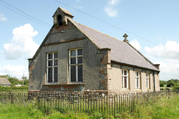
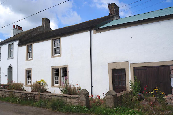
 CFF99.jpg (taken 29.7.2016) |
||||
|
|
||||
| evidence:- | old map:- OS County Series (Cmd 28 4) placename:- Dundraw |
|||
| source data:- | Maps, County Series maps of Great Britain, scales 6 and 25
inches to 1 mile, published by the Ordnance Survey, Southampton,
Hampshire, from about 1863 to 1948. |
|||
|
|
||||
| evidence:- | old map:- Donald 1774 (Cmd) placename:- Dundraw |
|||
| source data:- | Map, hand coloured engraving, 3x2 sheets, The County of Cumberland, scale about 1
inch to 1 mile, by Thomas Donald, engraved and published by Joseph Hodskinson, 29
Arundel Street, Strand, London, 1774.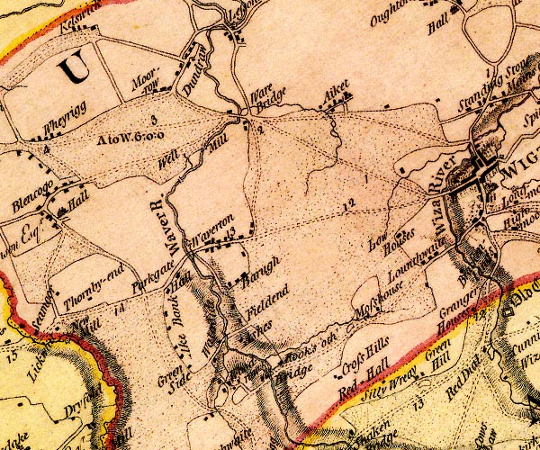 D4NY24NW.jpg "Dundraw" block or blocks, labelled in lowercase; a hamlet or just a house item:- Carlisle Library : Map 2 Image © Carlisle Library |
|||
|
|
||||
| evidence:- | old map:- Cooper 1808 placename:- Dundraw |
|||
| source data:- | Map, uncoloured engraving, Cumberland, scale about 10.5 miles to
1 inch, drawn and engraved by Cooper, published by R Phillips,
Bridge Street, Blackfriars, London, 1808. click to enlarge click to enlargeCOP3.jpg "Dundraw" circle; village or hamlet item:- JandMN : 86 Image © see bottom of page |
|||
|
|
||||
| evidence:- | old text:- Gents Mag item:- murder; hanging |
|||
| source data:- | Magazine, The Gentleman's Magazine or Monthly Intelligencer or
Historical Chronicle, published by Edward Cave under the
pseudonym Sylvanus Urban, and by other publishers, London,
monthly from 1731 to 1922. goto source goto sourceGentleman's Magazine 1808 p.845 "COUNTRY NEWS." "Aug. 25. A man named James Hood was tried at the Cumberland assizes for the murder of Margaret Smith of Longburn, and Jane Pattinson her sister. - He had applied for work, as a weaver, at the house of Smith; and, after being some time there, took the opportunity, during the absence of Smith, to murder the two women, and rob the house of some money. He was traced to Scotland, where he was apprehended, and confessed the crime. He was sentenced to death, and executed this day." |
|||
|
|
||||
| evidence:- | old map:- Ford 1839 map placename:- Dundraw |
|||
| source data:- | Map, uncoloured engraving, Map of the Lake District of
Cumberland, Westmoreland and Lancashire, scale about 3.5 miles
to 1 inch, published by Charles Thurnam, Carlisle, and by R
Groombridge, 5 Paternoster Row, London, 3rd edn 1843.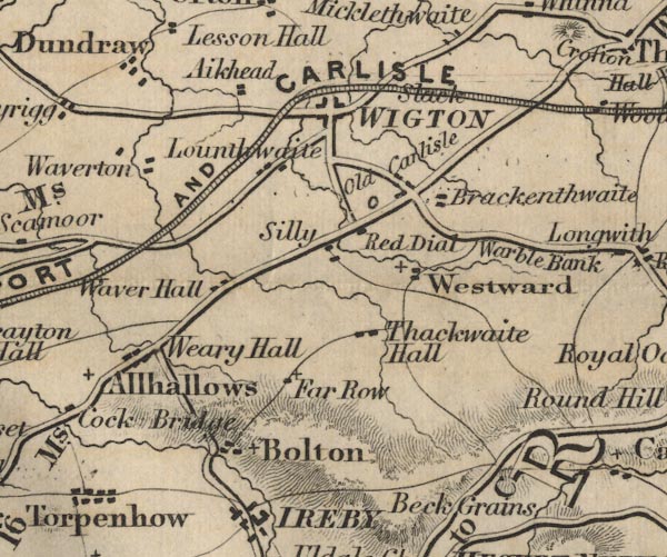 FD02NY24.jpg "Dundraw" item:- JandMN : 100.1 Image © see bottom of page |
|||
|
|
||||
| places:- |
|
|||
|
||||
|
||||
|
||||
|
||||
|
||||
|
||||
Lakes Guides menu.