


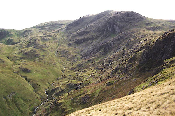
BXI70.jpg Dove Crag, Dovedale Beck, Houndhope Cove.
(taken 18.9.2012)
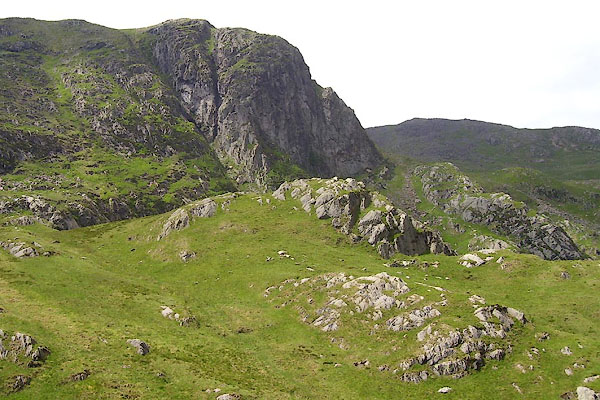
BPH55.jpg (taken 9.6.2008)
placename:- Dow Craggs
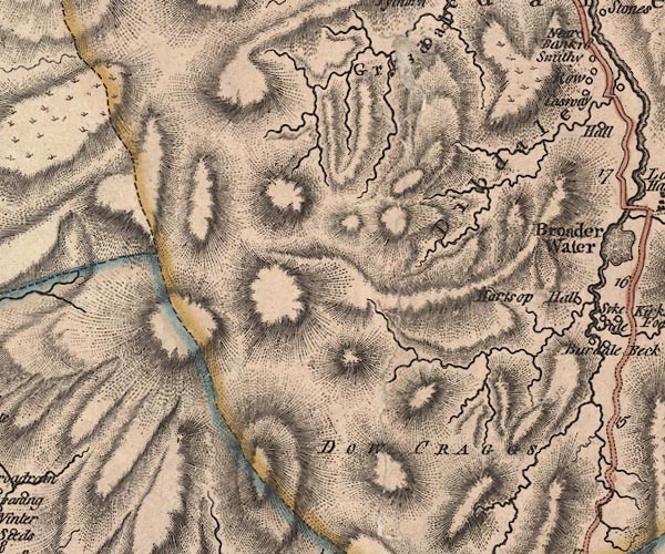
J5NY31SE.jpg
"DOW CRAGGS"
hill hachuring; hill or mountain
item:- National Library of Scotland : EME.s.47
Image © National Library of Scotland
placename:- Dow Craggs
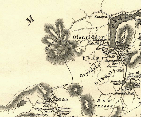
CY24NY31.jpg
"DOW CRAGGS"
hill hachuring
item:- JandMN : 129
Image © see bottom of page
placename:- Dove Crag
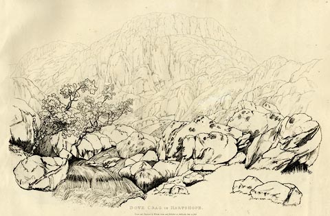 click to enlarge
GN1255.jpg
Plate 55 in Sixty Studies from Nature, 1810.
printed at top right:- "55"
printed at bottom:- "DOVE CRAG IN HARTSOPE. / Drawn and Engraved by William Green, and Published at Ambleside, June 24, 1808."
watermark:- "J WHATMAN / 1813"
item:- Armitt Library : A6641.55
Image © see bottom of page
placename:- Dove Crags
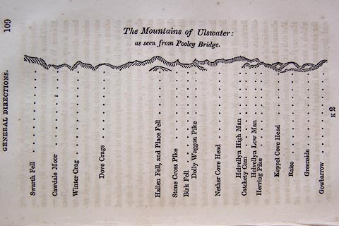 click to enlarge
O75E05.jpg
p.109 in A Concise Description of the English Lakes, by Jonathan Otley, 4th edition, 1830. "The Mountains of Ulswater: / as seen from Pooley Bridge."
"Swarth Fell / Cawdale Moor / Winter Crag / Dove Crags / Hallen Fell, and Place Fell / Stone Cross Pike / Birk Fell / Dolly Waggon Pike / Nether Cove Head / Helvellyn High Man / Catchety Cam / Helvellyn Low Man / Herring Pike / Keppel Cove Head / Raise / Greenside / Gowbarrow"
item:- Armitt Library : A1175.5
Image © see bottom of page
placename:- Dove Crags
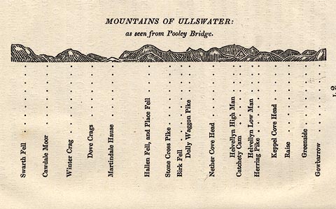 click to enlarge
OT2E12.jpg
Printed on p.113 of A Concise Description of the English Lakes, by Jonathan Otley, 5th edition, 1834. "MOUNTAINS OF ULLSWATER: as seen from Pooley Bridge."
Mountains are listed:- "Swarth Fell / Cawdale Moor / Winter Crag / Dove Crags / Martindale Hause / Hallen Fell, and Place Fell / Stone Cross Pike / Birk Fell / Dolly Waggon Pike / Nether Cove Head / Helvellyn High Man / Catchety Cam / Helvellyn Low Man / Herring Pike / Keppel Cove Head / Raise / Greenside / Gowbarrow"
item:- JandMN : 48.13
Image © see bottom of page
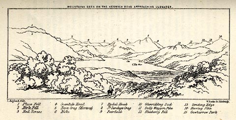 click to enlarge
MNU115.jpg
Plate, opposite p.104 in A Complete Guide to the English Lakes, by Harriet Martineau. "MOUNTAINS SEEN ON THE KESWICK ROAD APPROACHING ULLSWATER."
"L Aspland Delt. / W Banks Sc Edinr."
The view is captioned, numbers referring to mountains in the image:- "1 Place Fell, 2 Birk Fell, 3 Red Screes, 4 Scandale Head, 5 Dove Crag (Hartsop), 6 Birks, 7 Rydal Head, 8 St. Sundays Crag, 9, Fairfield, 10 Glenridding Dod, 11 Dolly Waggon Pike, 12 Bleaberry Fell, 13 Striding Edge, 14 Herring Pike, 15 Gowbarrow Park."
item:- Armitt Library : A1159.15
Image © see bottom of page
placename:- Dove Crag
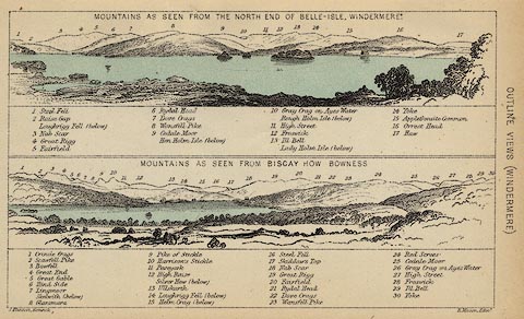 click to enlarge
BC08E1.jpg
"... 7 Dove Crags ... 22 Dove Crags ..."
item:- JandMN : 37.4
Image © see bottom of page
placename:- Dove Crag
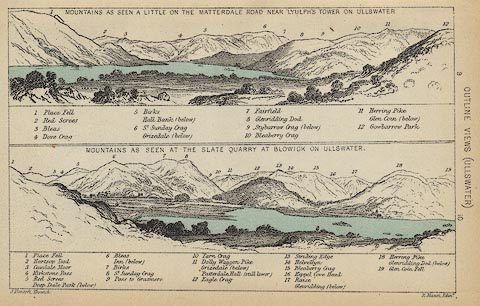 click to enlarge
BC08E2.jpg
"... 4 Dove Crag ..."
item:- JandMN : 37.8
Image © see bottom of page
placename:- Dove Crag
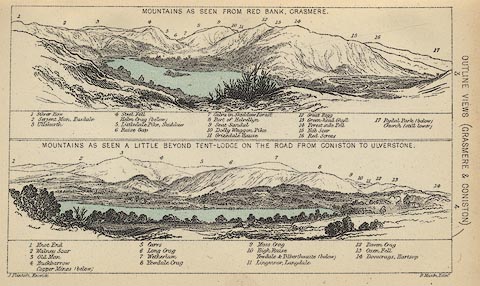 click to enlarge
BC08E3.jpg
"... 14 Dovecrags, Hartsop ..."
item:- JandMN : 37.12
Image © see bottom of page
placename:- Dove Crag
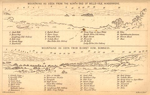 click to enlarge
BC02E1.jpg
"... 7 Dove Crags ... 22 Dove Crags ..."
item:- JandMN : 32.3
Image © see bottom of page
placename:- Dove Crag
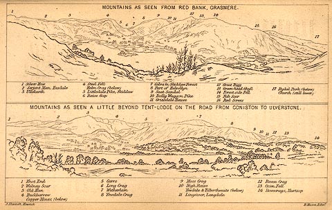 click to enlarge
BC02E3.jpg
"... 14 Dovecrags, Hartsop ..."
item:- JandMN : 32.5
Image © see bottom of page
placename:- Dove Crag
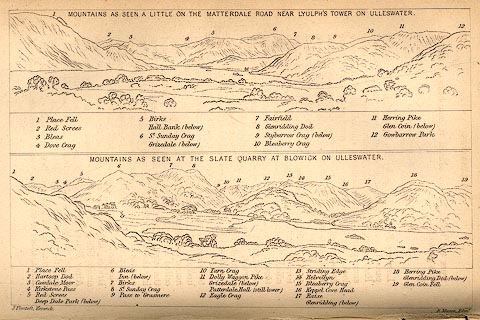 click to enlarge
BC02E9.jpg
"... 4 Dove Crag ..."
item:- JandMN : 32.15
Image © see bottom of page

Click to enlarge
BMY53.jpg Panorama from the track to Hartsop Hall; Caudale Moor, Kirkstone Pass, Middle Dodd, High Hartsop Dodd, Stand Crags and Dove Crag in Dovedale.
(taken 5.11.2006)
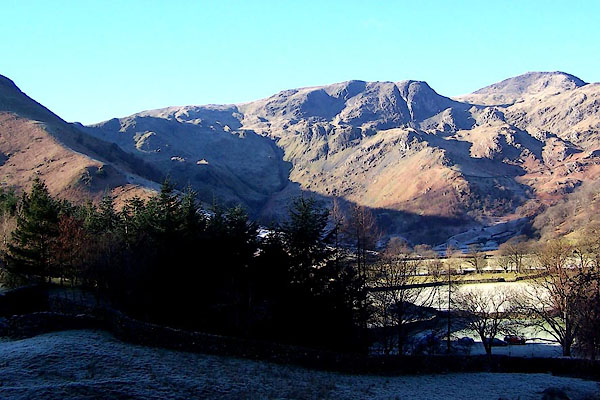
BND85.jpg (taken 5.2.2007)
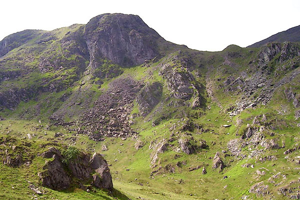
BPH54.jpg (taken 9.6.2008)

 Lakes Guides menu.