 Old Cumbria Gazetteer
 |
 |
|
| Crag Fell, Ennerdale and Kinniside | ||
| Crag Fell | ||
| civil parish:- | Ennerdale and Kinniside (formerly Cumberland) | |
| county:- | Cumbria | |
| locality type:- | hill | |
| locality type:- | fell | |
| coordinates:- | NY09781435 (etc) | |
| 1Km square:- | NY0914 | |
| 10Km square:- | NY01 | |
|
|
||
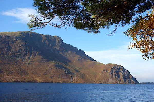 CEF54.jpg (taken 27.10.2015) 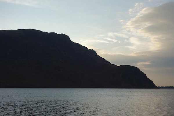 CEF56.jpg (taken 27.10.2015) |
||
|
|
||
| evidence:- | old map:- OS County Series (Cmd 68 11) placename:- Crag Fell |
|
| source data:- | Maps, County Series maps of Great Britain, scales 6 and 25
inches to 1 mile, published by the Ordnance Survey, Southampton,
Hampshire, from about 1863 to 1948. |
|
|
|
||
| evidence:- | probably old map:- Otley 1818 placename:- Hevelin |
|
| source data:- | Map, uncoloured engraving, The District of the Lakes,
Cumberland, Westmorland, and Lancashire, scale about 4 miles to
1 inch, by Jonathan Otley, 1818, engraved by J and G Menzies,
Edinburgh, Scotland, published by Jonathan Otley, Keswick,
Cumberland, et al, 1833.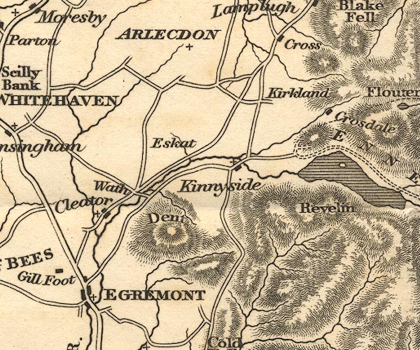 OT02NY01.jpg item:- JandMN : 48.1 Image © see bottom of page |
|
|
|
||
| evidence:- | outline view:- Otley 1823 (4th edn 1830) placename:- Crag Fell |
|
| source data:- | Print, engraving, outline view, Mountains of Ennerdale as seen from Kirkland, published
by Jonathan Otley, Keswick, Cumberland et al, 1830.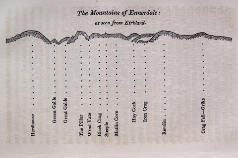 click to enlarge click to enlargeO75E09.jpg p.131 in A Concise Description of the English Lakes, by Jonathan Otley, 4th edition, 1830. "The Mountains of Ennerdale: / as seen from Kirkland." "Herdhouse / Green Gable / Great Gable / The Pillar / Wind Yate / Black Crag / Steeple / Matlin Cove / Hay Cock / Iron Crag / Revelin / Crag Fell - Grike" item:- Armitt Library : A1175.9 Image © see bottom of page |
|
|
|
||
| evidence:- | outline view:- Otley 1823 (8th edn 1849) placename:- Crag Fell |
|
| source data:- | Engraving, outline view of mountains, Ennerdale from a Field near Kirkland and Salter,
drawn by T Binns, engraved by O Jewitt, opposite p.20 of A Descriptive Guide of the
English Lakes, by Jonathan Otley, 8th edition, 1849.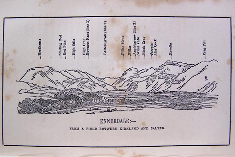 click to enlarge click to enlargeO80E11.jpg item:- Armitt Library : A1180.12 Image © see bottom of page |
|
|
|
||
| evidence:- | outline view:- Otley 1823 (5th edn 1834) |
|
| source data:- | Print, woodcut outline view, The Mountains of Ennerdale, by
Jonathan Otley, Keswick, Cumberland, 1830.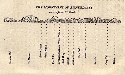 click to enlarge click to enlargeOT2E06.jpg Printed on p.27 of A Concise Description of the English Lakes, by Jonathan Otley, 5th edition, 1834. "THE MOUNTAINS OF ENNERDALE: as seen from Kirkland." "Bannow Fell / Herdhouse / Green Gable / Great Gable / The Pillar / Bowness Knot and Wind Yate / Black Crag / Steeple / Matlin Cove / Hay Cock / Iron Crag / Revelin / Crag Fell / Grike" item:- JandMN : 48.7 Image © see bottom of page |
|
|
|
||
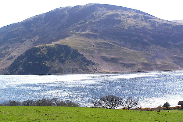 BMA12.jpg Angler's Crag and Crag Fell. (taken 3.5.2006) 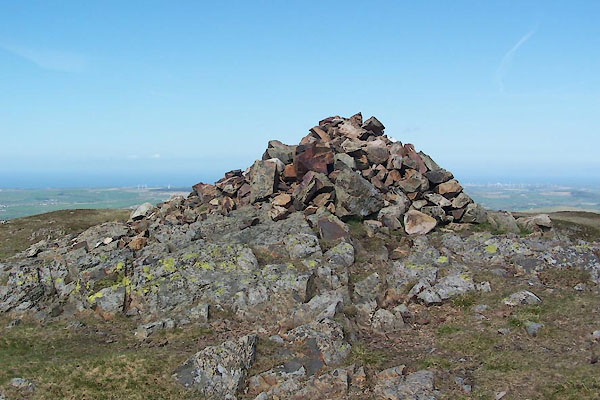 BUL71.jpg Cairn, (taken 27.4.2011) |
||
|
|
||
 Lakes Guides menu.