 Old Cumbria Gazetteer
 |
 |
|
| Corryhouse, Stanwix Rural | ||
| Corryhouse | ||
| civil parish:- | Stanwix Rural (formerly Cumberland) (?) | |
| county:- | Cumbria | |
| locality type:- | building/s (?) | |
| 1Km square:- | NY4061 (?) | |
| 10Km square:- | NY46 | |
| references:- | Saxton 1579 |
|
|
|
||
| evidence:- | old map:- Saxton 1579 placename:- Corryhowse |
|
| source data:- | Map, hand coloured engraving, Westmorlandiae et Cumberlandiae Comitatus ie Westmorland
and Cumberland, scale about 5 miles to 1 inch, by Christopher Saxton, London, engraved
by Augustinus Ryther, 1576, published 1579-1645.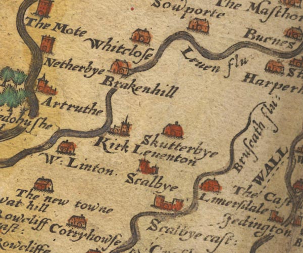 Sax9NY46.jpg Building, symbol for a hamlet, which may or may not have a nucleus. "Corryhowse" item:- private collection : 2 Image © see bottom of page |
|
|
|
||
| evidence:- | old map:- Mercator 1595 (edn?) placename:- Corryhowse |
|
| source data:- | Map, hand coloured engraving, Northumbria, Cumberlandia, et
Dunelmensis Episcopatus, ie Northumberland, Cumberland and
Durham etc, scale about 6.5 miles to 1 inch, by Gerard Mercator,
Duisberg, Germany, about 1595.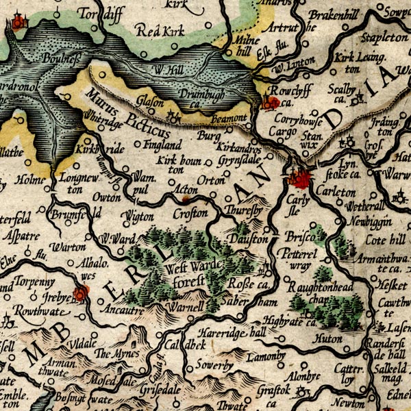 MER8CumC.jpg "Corryhowse" circle item:- JandMN : 169 Image © see bottom of page |
|
|
|
||
| evidence:- | old map:- Speed 1611 (Cmd) placename:- Corryhouse |
|
| source data:- | Map, hand coloured engraving, Cumberland and the Ancient Citie
Carlile Described, scale about 4 miles to 1 inch, by John Speed,
1610, published by J Sudbury and George Humble, Popes Head
Alley, London, 1611-12.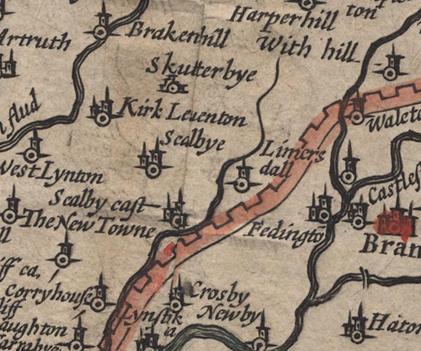 SP11NY46.jpg "Corryhouse" circle, tower item:- private collection : 16 Image © see bottom of page |
|
|
|
||
 Lakes Guides menu.