


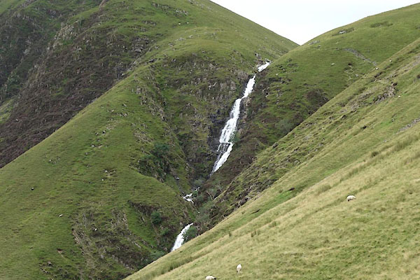
BYZ95.jpg (taken 6.8.2013)
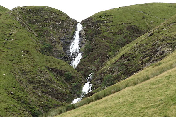
BYZ96.jpg (taken 6.8.2013)
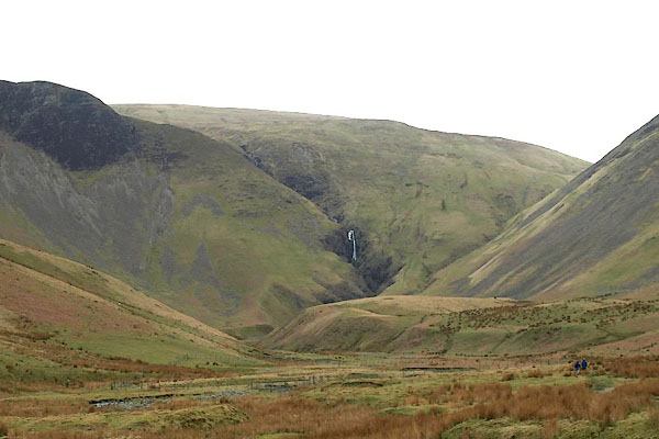
BOX98.jpg From down in the valley.
(taken 31.3.2008)
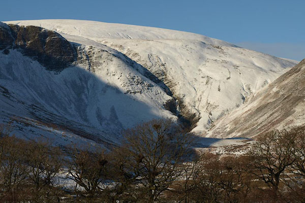
BTV56.jpg In snow.
(taken 24.12.2010)
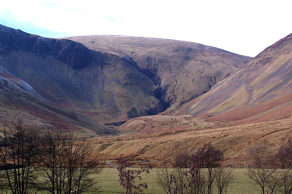
BLQ80.jpg (taken 4.3.2006)
placename:- Codley Spout
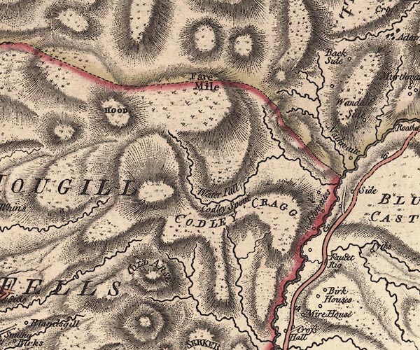
J5SD69NE.jpg
"Water Fall / Codley Spout"
waterfall
item:- National Library of Scotland : EME.s.47
Image © National Library of Scotland
placename:- Cautley Spout
 goto source
Page 189:- "..."
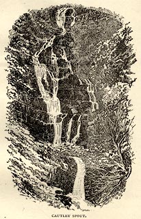
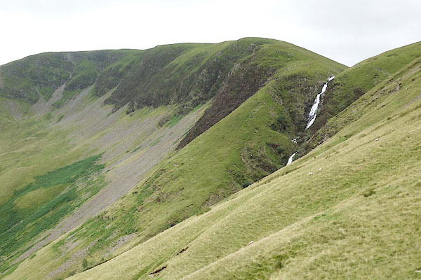
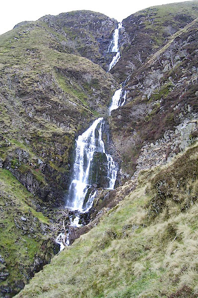
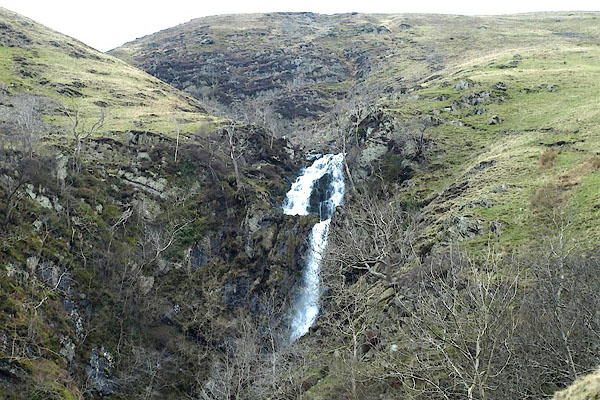
"CAUTLEY SPOUT.- This place, though not properly belonging to Lonsdale, is too important a feature of the Howgill Fells to be omitted. It consists of three cascades; the highest of which takes a clear leap of 400 feet and upwards. The whole height of the cascade, from the spout to the foot of the lower fall, has been measured as 860 feet. The south side of the fall is crowned by tremendous precipices and shelves of loose stone, called 'Cautley Screes.' The north side is particularly abrupt, and requires a firm foot, and a good head, to get either up or down."
placename:- Cautley Waterfall
 click to enlarge
BT0104.jpg
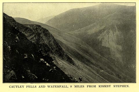
Included in a guide book, Kirkby Stephen, 4th edn 1922.
printed at bottom:- "CAUTLEY FELLS AND WATERFALL, 8 MILES FROM KIRKBY STEPHEN."
item:- private collection : 220.4
Image © see bottom of page
placename:- Cautley Spout
 click to enlarge
THP117.jpg
On p.78 of An Illustrated Guide to Sedbergh, Garsdale, and Dent, by W Thompson.
item:- Armitt Library : A1612.B17
Image © see bottom of page
BYZ94.jpg (taken 6.8.2013)
BOY26.jpg At the top.
(taken 31.3.2008)
BOY02.jpg (taken 31.3.2008)
BOY04.jpg (taken 31.3.2008)
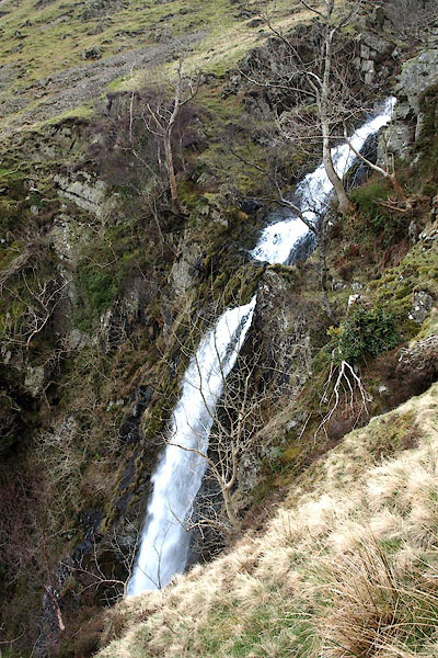
BOY03.jpg (taken 31.3.2008)
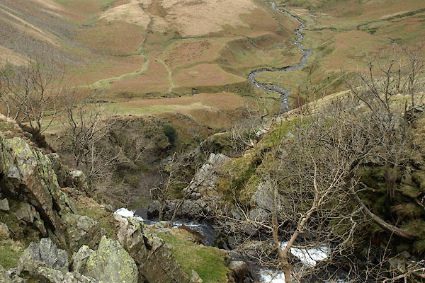
BOY05.jpg Looking over the spout.
(taken 31.3.2008)
