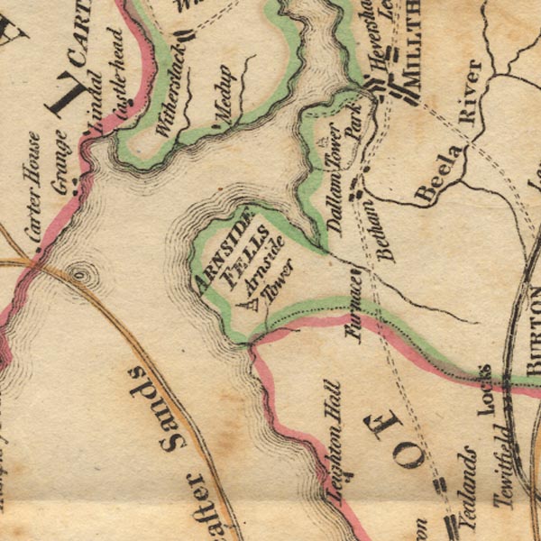


placename:- Castlehead
 goto source
Page 29, footnote:- "A little to the left of Whitbarrow [from Lancaster Sands] is Castlehead, which is now in the possession of the executor of John Wilkinson, Esq. The house is seen to advantage as you cross the sands, and greatly enlivens the part of the coast where it is situated."
placename:- Castlehead

Ws02SD47.jpg
item:- Armitt Library : A1221.1
Image © see bottom of page
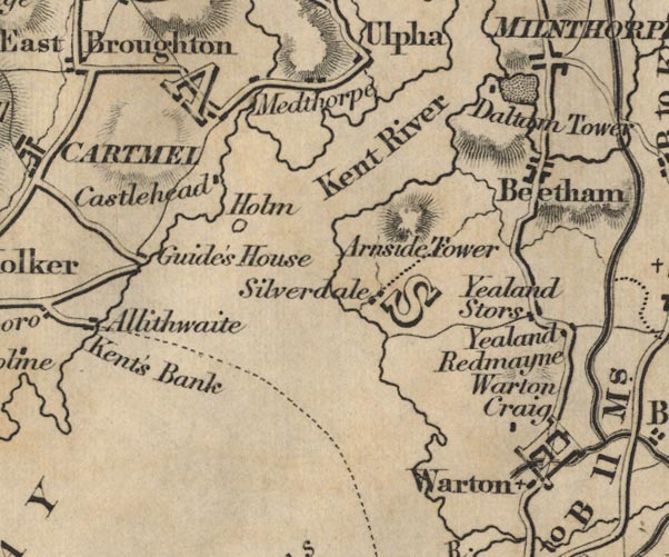
placename:- Castlehead

FD02SD47.jpg
"Castlehead"
item:- JandMN : 100.1
Image © see bottom of page
placename:- Castle Head
courtesy of English Heritage
"CASTLE HEAD / / LINDALE ROAD / GRANGE OVER SANDS / SOUTH LAKELAND / CUMBRIA / II / 460525 / SD4215279839"
courtesy of English Heritage
"ANIMAL SHELTER TO NORTH OF BOATHOUSE AT CASTLE HEAD / / LINDALE ROAD / GRANGE OVER SANDS / SOUTH LAKELAND / CUMBRIA / II / 460527 / SD4216679588"
courtesy of English Heritage
"FORMER STABLE BLOCK AT CASTLE HEAD / / LINDALE ROAD / GRANGE OVER SANDS / SOUTH LAKELAND / CUMBRIA / II / 460526 / SD4198979772"
courtesy of English Heritage
"GATE PIERS TO SOUTH OF SOUTH LODGE TO CASTLE HEAD / / LINDALE ROAD / GRANGE OVER SANDS / SOUTH LAKELAND / CUMBRIA / II / 460530 / SD4172179299"
courtesy of English Heritage
"SOUTH LODGE TO CASTLE HEAD / / LINDALE ROAD / GRANGE OVER SANDS / SOUTH LAKELAND / CUMBRIA / II / 460529 / SD4170979309"
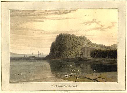
placename:- Castlehead
item:- seagull; obelisk
 click to enlarge
PR0779.jpg
The view is before the Meathop Embankment was made for the Ulverstone and Lancaster Railway.
printed at bottom:- "Castle-head, Westmoreland. / Drawn & Engraved by Willm. Daniell. / Published by Messrs.Longman & Co, Paternoster Row, &W. Daniell, 9 Cleveland St. Fitzroy Square, London, Feby. 1,1816."
item:- private collection : 210
Image © see bottom of page
