 |
 |
|
|
|
|
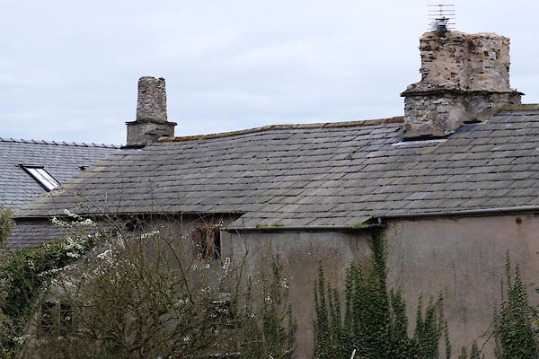
Baycliff |
| civil parish:- |
Aldingham (formerly Lancashire) |
| county:- |
Cumbria |
| locality type:- |
locality |
| locality type:- |
buildings |
| coordinates:- |
SD28727230 |
| 1Km square:- |
SD2872 |
| 10Km square:- |
SD27 |
|
|
|
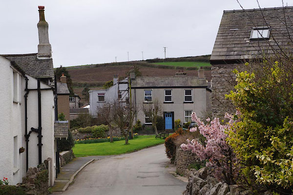
CAH07.jpg (taken 4.4.2014)
|
|
|
| evidence:- |
old map:- OS County Series (Lan 22 3)
placename:- Baycliff
|
| source data:- |
Maps, County Series maps of Great Britain, scales 6 and 25
inches to 1 mile, published by the Ordnance Survey, Southampton,
Hampshire, from about 1863 to 1948.
|
|
|
| evidence:- |
probably old map:- Ford 1839 map
placename:- Beckcliff
|
| source data:- |
Map, uncoloured engraving, Map of the Lake District of
Cumberland, Westmoreland and Lancashire, scale about 3.5 miles
to 1 inch, published by Charles Thurnam, Carlisle, and by R
Groombridge, 5 Paternoster Row, London, 3rd edn 1843.
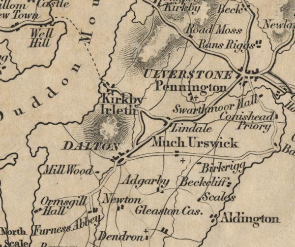
FD02SD27.jpg
"Beckcliff"
item:- JandMN : 100.1
Image © see bottom of page
|
|
|
| places:- |
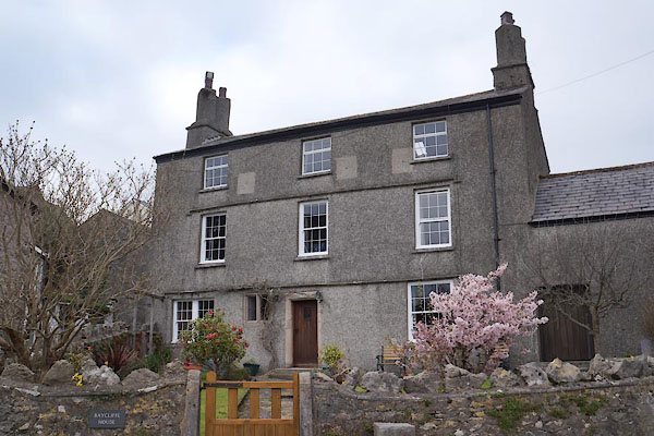 |
SD28797234 Baycliff House (Aldingham) L |
|
|
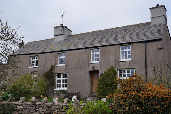 |
SD28767233 Crabtree Farm (Aldingham) |
|
|
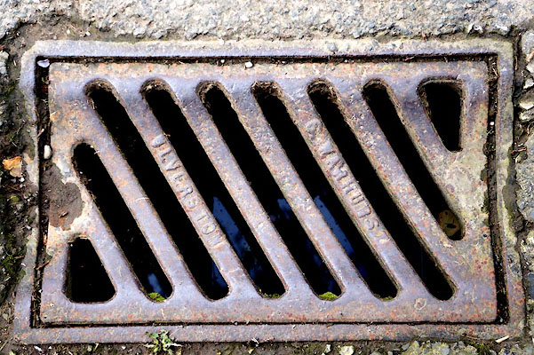 |
SD28817233 drain, Baycliff (Aldingham) |
|
|
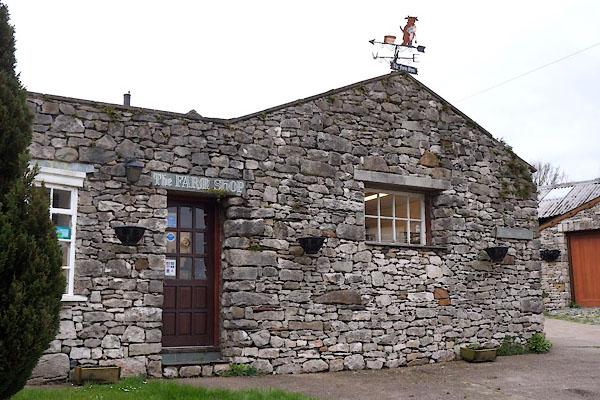 |
SD28727232 Farm Shop, The (Ulverston) |
|
|
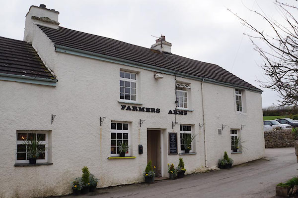 |
SD28647236 Farmers Arms (Aldingham) |
|
|
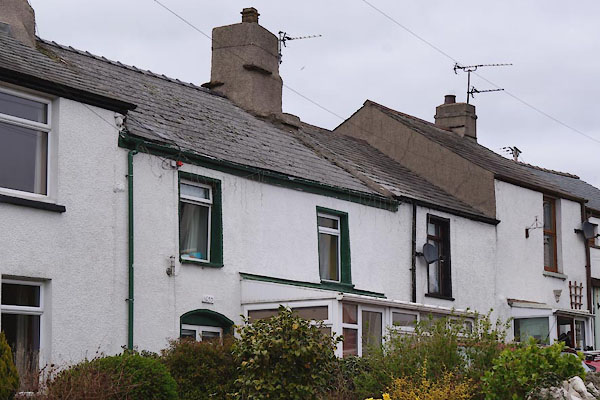 |
SD28667239 Honeysuckle Cottage (Aldingham) |
|
|
 |
SD28797271 limekiln, Aldingham (3) (Aldingham) |
|
|
 |
SD28827233 Low Farm (Aldingham) L |
|
|
|
SD2971 inscribed rock, Baycliff (Aldingham) |
|
|
|
SD286723 windmill, Baycliff (Aldingham) |
|
