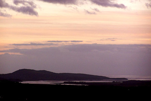


BLL94.jpg (taken 16.12.2005)
placename:- Arnside Knott
placename:- Arnside Knot
item:- limestone; shillow
 goto source
Page 101, footnote:- "..."
"The greatest quantity of limestone hills contained in this tour lie within the district bounded by Kendal, Witherslack, Kellet, and Hutton roof. And the most beautiful of them, as seen at a distance, are Farlton and Arnside knots, Witherslack-scar, and Warton-crag. The two first have their highest parts, which are neatly rounded, covered in a great measure with small fragments of limestone (called shillow) which gives them at all times an uncommon and beautiful appearance. But at the latter end of the year, when the foliage of the copses on their sides, and the grass which is interspersed along their glades near their tops, have gained an olive hue, no objects of the kind can appear more elegantly coloured. ..."
