button to main menu  Old Cumbria Gazetteer
Arlecdon
civil parish:-   Arlecdon and Frizington (formerly Cumberland)
county:-   Cumbria
locality type:-   locality
locality type:-   buildings
coordinates:-   NY04981891 (etc) 
1Km square:-   NY0419
10Km square:-   NY01


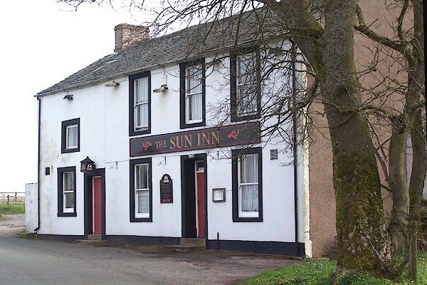
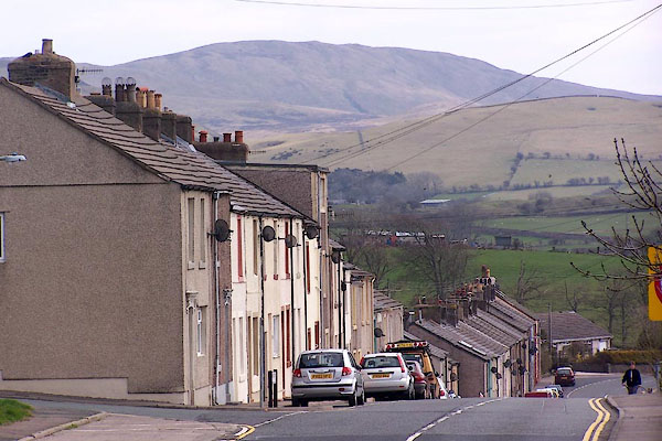
photograph
BLY41.jpg (taken 24.4.2006)  

evidence:-   old map:- OS County Series (Cmd 62 13) 
placename:-  Arlecdon
source data:-   Maps, County Series maps of Great Britain, scales 6 and 25 inches to 1 mile, published by the Ordnance Survey, Southampton, Hampshire, from about 1863 to 1948.

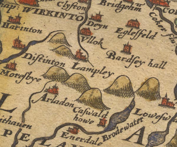
evidence:-   old map:- Saxton 1579
placename:-  Arladon
source data:-   Map, hand coloured engraving, Westmorlandiae et Cumberlandiae Comitatus ie Westmorland and Cumberland, scale about 5 miles to 1 inch, by Christopher Saxton, London, engraved by Augustinus Ryther, 1576, published 1579-1645.
image
Sax9NY02.jpg
Church, symbol for a parish or village, with a parish church.  "Arladon"
item:-  private collection : 2
Image © see bottom of page

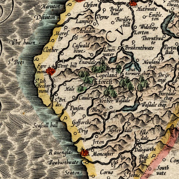
evidence:-   old map:- Mercator 1595 (edn?) 
placename:-  Arladon
source data:-   Map, hand coloured engraving, Northumbria, Cumberlandia, et Dunelmensis Episcopatus, ie Northumberland, Cumberland and Durham etc, scale about 6.5 miles to 1 inch, by Gerard Mercator, Duisberg, Germany, about 1595.
image
MER8CumE.jpg
"Arladon"
circle 
item:-  JandMN : 169
Image © see bottom of page

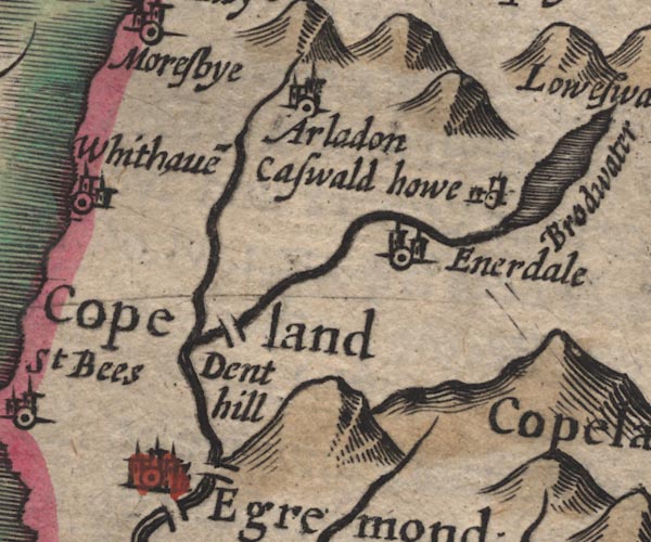
evidence:-   old map:- Speed 1611 (Cmd) 
placename:-  Arladon
source data:-   Map, hand coloured engraving, Cumberland and the Ancient Citie Carlile Described, scale about 4 miles to 1 inch, by John Speed, 1610, published by J Sudbury and George Humble, Popes Head Alley, London, 1611-12.
image
SP11NY01.jpg
"Arladon"
circle, building, tower 
item:-  private collection : 16
Image © see bottom of page

evidence:-   old map:- Jenner 1643
placename:-  Arladon
source data:-   Tables of distances with a maps, Westmerland, scale about 16 miles to 1 inch, and Cumberland, scale about 21 miles to 1 inch, published by Thomas Jenner, London, 1643; published 1643-80.
image
JEN4Sq.jpg
"Arladon"
circle 

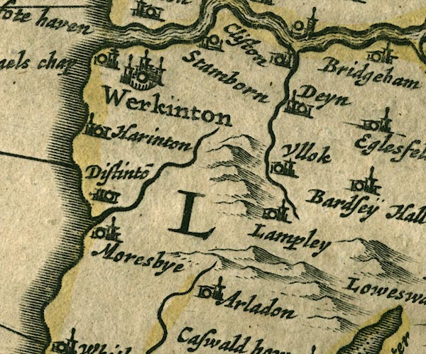
evidence:-   old map:- Jansson 1646
placename:-  Arladon
source data:-   Map, hand coloured engraving, Cumbria and Westmoria, ie Cumberland and Westmorland, scale about 3.5 miles to 1 inch, by John Jansson, Amsterdam, Netherlands, 1646.
image
JAN3NY02.jpg
"Arladon"
Buildings and tower. 
item:-  JandMN : 88
Image © see bottom of page

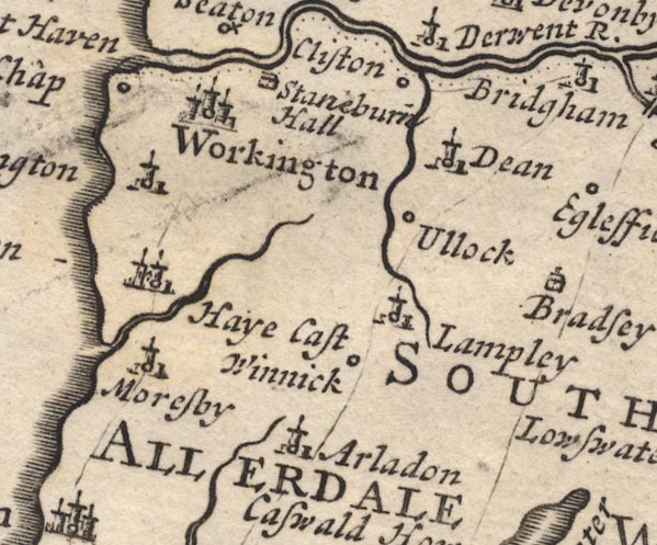
evidence:-   old map:- Morden 1695 (Cmd) 
placename:-  Arladon
source data:-   Map, uncoloured engraving, Cumberland, scale about 4 miles to 1 inch, by Robert Morden, 1695, published by Abel Swale, the Unicorn, St Paul's Churchyard, Awnsham, and John Churchill, the Black Swan, Paternoster Row, London, 1695-1715.
image
MD12NY02.jpg
"Arladon"
Circle, building and tower. 
item:-  JandMN : 90
Image © see bottom of page

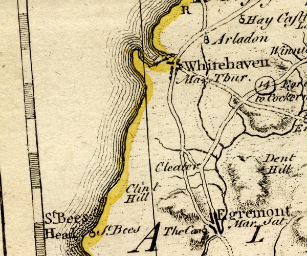
evidence:-   old map:- Bowen and Kitchin 1760
placename:-  Arladon
source data:-   Map, hand coloured engraving, A New Map of the Counties of Cumberland and Westmoreland Divided into their Respective Wards, scale about 4 miles to 1 inch, by Emanuel Bowen and Thomas Kitchin et al, published by T Bowles, Robert Sayer, and John Bowles, London, 1760.
image
BO18NX91.jpg
"Arladon"
circle, tower 
item:-  Armitt Library : 2008.14.10
Image © see bottom of page

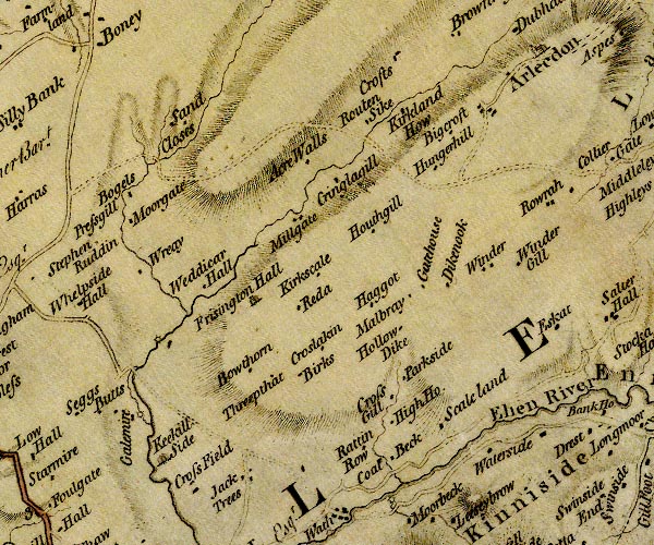
evidence:-   old map:- Donald 1774 (Cmd) 
placename:-  Arlecdon
source data:-   Map, hand coloured engraving, 3x2 sheets, The County of Cumberland, scale about 1 inch to 1 mile, by Thomas Donald, engraved and published by Joseph Hodskinson, 29 Arundel Street, Strand, London, 1774.
image
D4NY01NW.jpg
"Arlecdon"
blocks, and usually a church, labelled in upright lowercase; a village 
item:-  Carlisle Library : Map 2
Image © Carlisle Library

evidence:-   old map:- Cooper 1808
placename:-  Arlecdon
source data:-   Map, uncoloured engraving, Cumberland, scale about 10.5 miles to 1 inch, drawn and engraved by Cooper, published by R Phillips, Bridge Street, Blackfriars, London, 1808.
image  click to enlarge
COP3.jpg
"Arlecdon"
circle; village or hamlet 
item:-  JandMN : 86
Image © see bottom of page

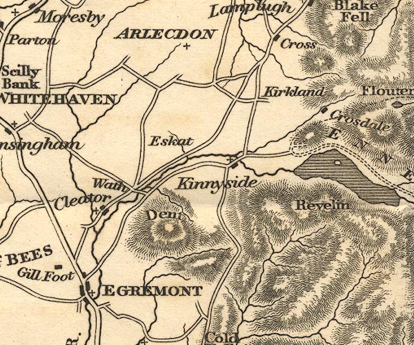
evidence:-   old map:- Otley 1818
placename:-  Arlecdon
source data:-   Map, uncoloured engraving, The District of the Lakes, Cumberland, Westmorland, and Lancashire, scale about 4 miles to 1 inch, by Jonathan Otley, 1818, engraved by J and G Menzies, Edinburgh, Scotland, published by Jonathan Otley, Keswick, Cumberland, et al, 1833.
image
OT02NY01.jpg
"ARLECDON"
item:-  JandMN : 48.1
Image © see bottom of page

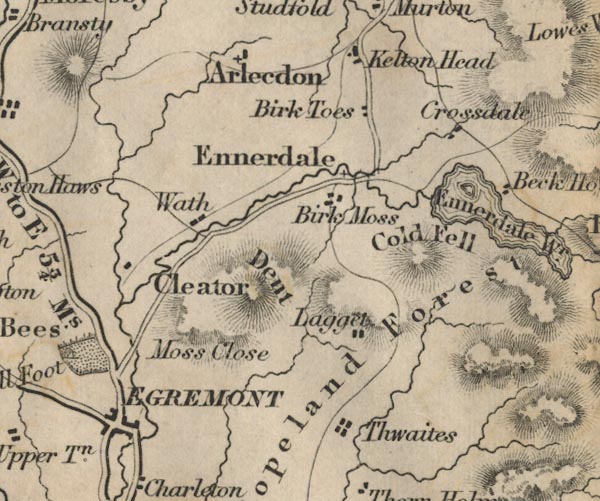
evidence:-   old map:- Ford 1839 map
placename:-  Arlecdon
source data:-   Map, uncoloured engraving, Map of the Lake District of Cumberland, Westmoreland and Lancashire, scale about 3.5 miles to 1 inch, published by Charles Thurnam, Carlisle, and by R Groombridge, 5 Paternoster Row, London, 3rd edn 1843.
image
FD02NY01.jpg
"Arlecdon"
item:-  JandMN : 100.1
Image © see bottom of page

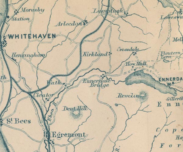
evidence:-   old map:- Garnett 1850s-60s H
placename:-  Arlecdon
source data:-   Map of the English Lakes, in Cumberland, Westmorland and Lancashire, scale about 3.5 miles to 1 inch, published by John Garnett, Windermere, Westmorland, 1850s-60s.
image
GAR2NY01.jpg
"Arlecdon"
blocks, settlement 
item:-  JandMN : 82.1
Image © see bottom of page

hearsay:-  
Palm Sunday here was a sports day, called Filly Fair.

places:-  
NY04701935 Arlecdon Farm (Arlecdon and Frizington)
NY05511846 Arlecdon Goods Depot (Arlecdon and Frizington)
NY04011870 Arlecdon Hill (Arlecdon and Frizington)
NY04881935 Arlecdon House (Arlecdon and Frizington)
NY0518 Arlecdon Junction (Arlecdon and Frizington)
NY04821922 Arlecdon Lodge (Arlecdon and Frizington)
NY05351857 Arlecdon Parks (Arlecdon and Frizington)
NY04981860 Arlecdon Station (Arlecdon and Frizington)
NY04861916 Common Side (Arlecdon and Frizington)
NY05331862 Ellergill Bridge (Arlecdon and Frizington)
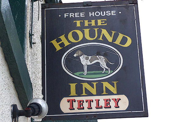
NY04891869 Hound Inn (Arlecdon and Frizington)
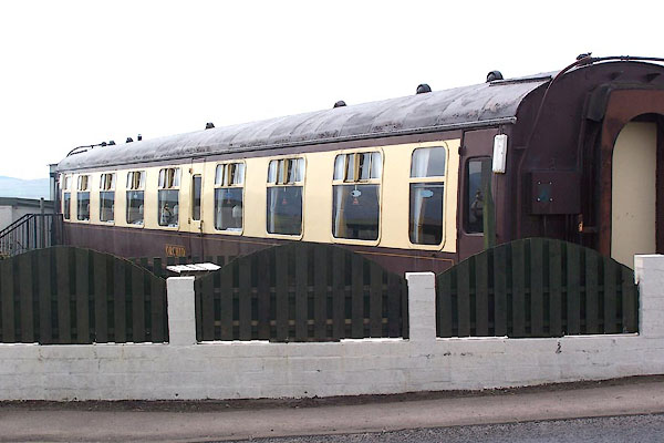
NY04871869 Orchid Restaurant (Arlecdon and Frizington)
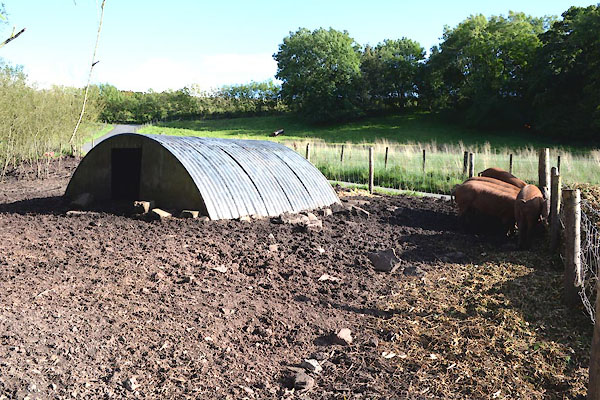
NY04971980 pig sty, Arlecdon and Frizington (Arlecdon and Frizington)
NY04871878 playing field, Arlecdon (Arlecdon and Frizington)
NY049193 Arlecdon Raceground (Arlecdon and Frizington)
NY04591996 railway culvert, Arlecdon and Frizington (Arlecdon and Frizington)
NY04731924 Arlecdon School (Arlecdon and Frizington)
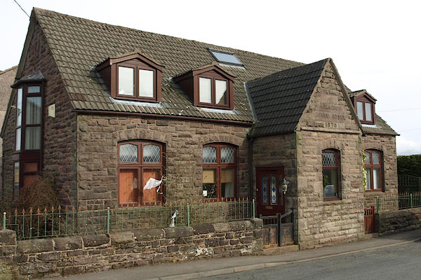
NY04971893 Arlecdon Sunday School (Arlecdon and Frizington)
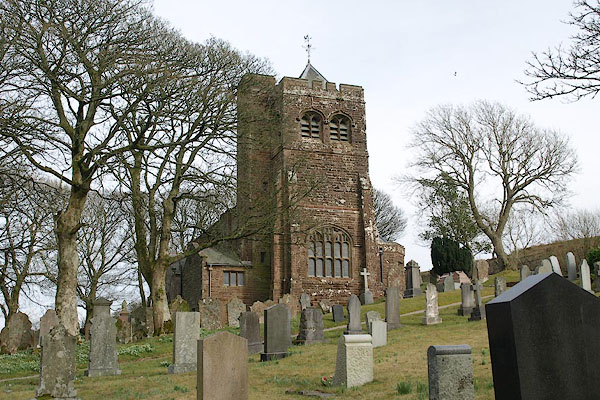
NY05211986 St Michael's Church (Arlecdon and Frizington) L
NY04841942 Sun Inn (Arlecdon and Frizington)
NY05101868 tile works, Arlecdon and Frizington (Arlecdon and Frizington) gone
NY05271864 Tileclose (Arlecdon and Frizington) gone
NY04491864 vicarage, Arlecdon (Arlecdon and Frizington)
button to lakes menu  Lakes Guides menu.