 Old Cumbria Gazetteer
 |
 |
|
| quarry, Stockdale | ||
| locality:- | Stockdale | |
| civil parish:- | Longsleddale (formerly Westmorland) | |
| county:- | Cumbria | |
| locality type:- | limestone quarry | |
| locality type:- | quarry | |
| coordinates:- | NY49280548 | |
| 1Km square:- | NY4905 | |
| 10Km square:- | NY40 | |
|
|
||
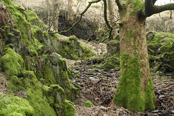 BSB45.jpg (taken 3.2.2010) |
||
|
|
||
| evidence:- | map:- OS Six Inch (1956) |
|
| source data:- | Map series, various editions with the national grid, scale about
6 inches to 1 mile, published by the Ordnance Survey,
Southampton, Hampshire, scale 1 to 10560 from 1950s to 1960s,
then 1 to 10000 from 1960s to 2000s, superseded by print on
demand from digital data.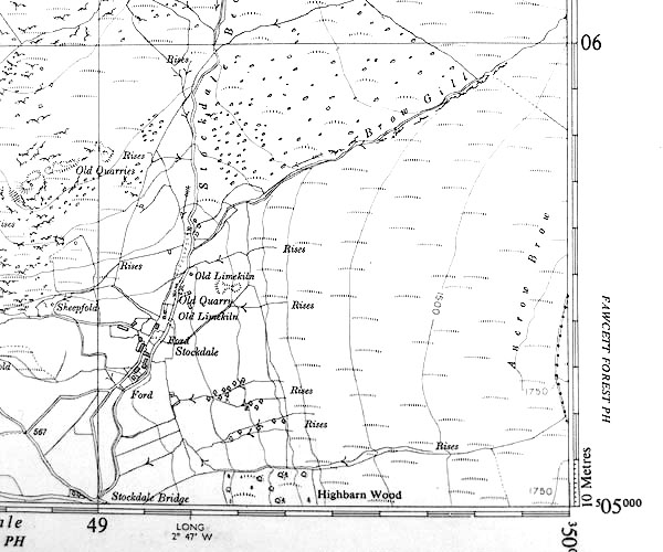 SINY4905.jpg "Old Quarry" |
|
|
|
||
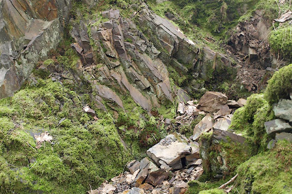 BSB46.jpg (taken 3.2.2010) 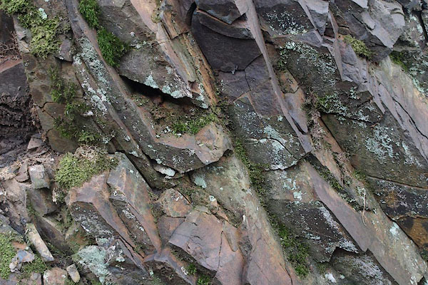 BSB47.jpg (taken 3.2.2010) |
||
|
|
||
 Lakes Guides menu.