 Old Cumbria Gazetteer
 |
 |
|
| quarry, Stile End Path | ||
| civil parish:- | Longsleddale (formerly Westmorland) | |
| county:- | Cumbria | |
| locality type:- | quarry (disused) | |
| coordinates:- | NY47700510 (about) | |
| 1Km square:- | NY4705 | |
| 10Km square:- | NY40 | |
|
|
||
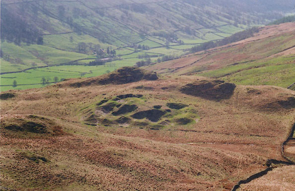 BIQ29.jpg Old quarries near the Stile End path. (taken 25.4.2004) |
||
|
|
||
| evidence:- | old map:- OS County Series (Wmd 27 6) |
|
| source data:- | Maps, County Series maps of Great Britain, scales 6 and 25
inches to 1 mile, published by the Ordnance Survey, Southampton,
Hampshire, from about 1863 to 1948. "Old Quarry" |
|
|
|
||
 Lakes Guides menu.