 Old Cumbria Gazetteer
 |
 |
|
| bridge, Galeforth Gill | ||
| site name:- | Galeforth Gill | |
| site name:- | track, Sadgill to Gatesgarth | |
| locality:- | ||
| civil parish:- | Longsleddale (formerly Westmorland) | |
| county:- | Cumbria | |
| locality type:- | bridge | |
| locality type:- | flood | |
| coordinates:- | NY48230655 | |
| 1Km square:- | NY4806 | |
| 10Km square:- | NY40 | |
|
|
||
| MN photo:- |
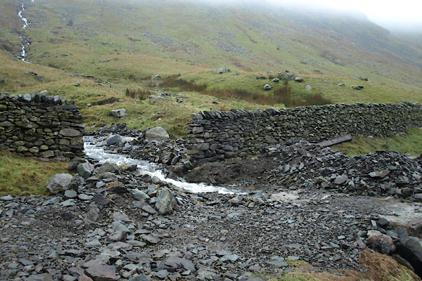
Although the crude bridge was not damaged after heavy rain, the wall each side of
the road were pushed down, the culvert stopped up, and rocks left blocking the track.
The highways department came to clear it up. |
|
 BVT39.jpg (taken 21.12.2011) 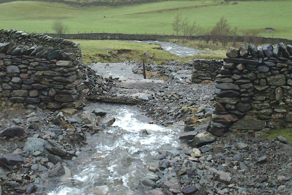 BVT40.jpg (taken 21.12.2011) 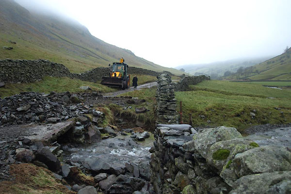 BVT41.jpg (taken 21.12.2011) 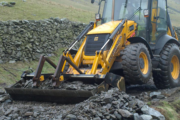 BVT42.jpg (taken 21.12.2011) 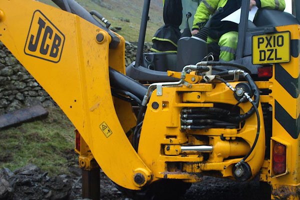 BVT43.jpg (taken 21.12.2011) 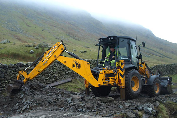 BVT44.jpg (taken 21.12.2011) 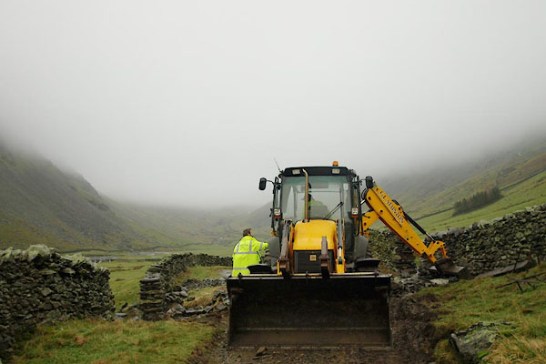 BVT46.jpg (taken 21.12.2011) |
||
|
|
||
 Lakes Guides menu.