 Old Cumbria Gazetteer
 |
 |
|
| Old Sadgill, Longsleddale | ||
| Old Sadgill | ||
| locality:- | Sadgill | |
| civil parish:- | Longsleddale (formerly Westmorland) | |
| county:- | Cumbria | |
| locality type:- | buildings (ruin) | |
| locality type:- | (shieling ?) | |
| coordinates:- | NY48200550 | |
| 1Km square:- | NY4805 | |
| 10Km square:- | NY40 | |
|
|
||
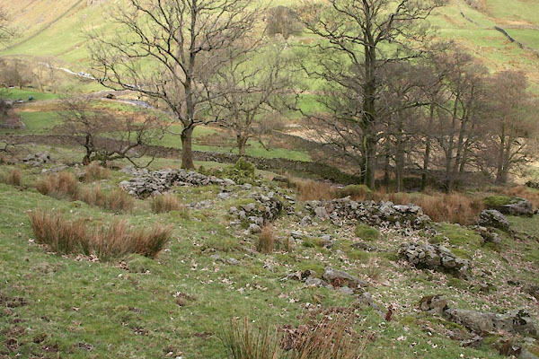
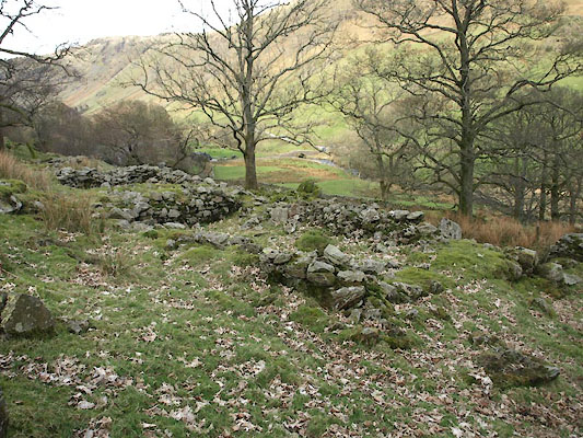 BWA91.jpg From SW. (taken 9.3.2012) 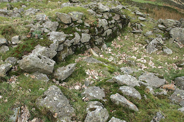 BWA93.jpg The 'steps'. (taken 9.3.2012) |
||
|
|
||
| evidence:- | site plan:- CWAAS |
|
| source data:- | Site plan of settlement known as Old Sadgill, Longsleddale 2003 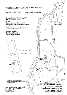 click to enlarge click to enlargeBWA95.jpg Plan by the Kendal Research Group of the Cumberland Westmorland Antiquarian and Archaeological Society. "MEDIEVAL SETTLEMENT & FARMHOUSE" "LOW SADGILL Longsledddale, Cumbria" |
|
|
|
||
| :- |
It was a medieval farmstead of 3 small rooms. |
|
|
|
||
| :- |
In recent times this was used as a hog house, to house young sheep, hogs, over winter,
within living memory. The enclosure up here being called Hog House Field to this day. |
|
| Fishwick, Ruth: 2004: personal communication |
||
|
|
||
| notes:- |
Grandly referred to as a 'Deserted Medieval Village' by the ADS; Machell notes two
hamlets at the head of Longsleddale in the middle of which were a chapel and a court.
... |
|
| : 2009: Archaeology Data Service &ADS |
||
|
|
||
| :- |
Potsherds of two glazed earthenware jars, probably from Arnside or Silverdale kilns,
16th-18th century were found under flags at the 'steps' at the NW corner of the southernmost
room (NY48200550). The partly re-assembled pots are in Kendal Museum:- |
|
| Kendal Museum : KMS1987.8 Kendal Museum : KMS1987.806 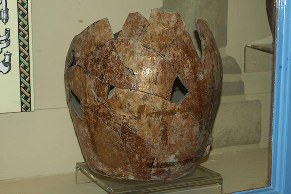 BQS80.jpg 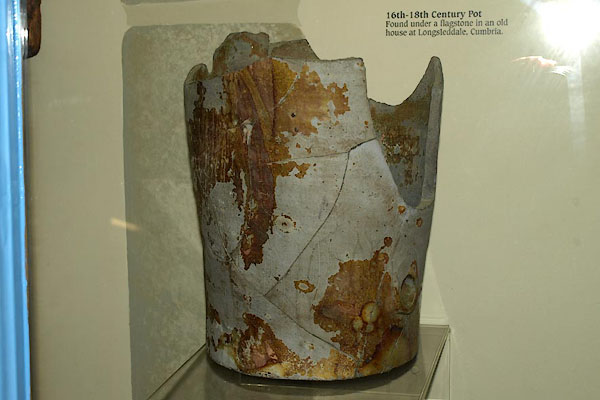 BQS81.jpg |
||
|
|
||
 BWA90.jpg From SW. (taken 9.3.2012) 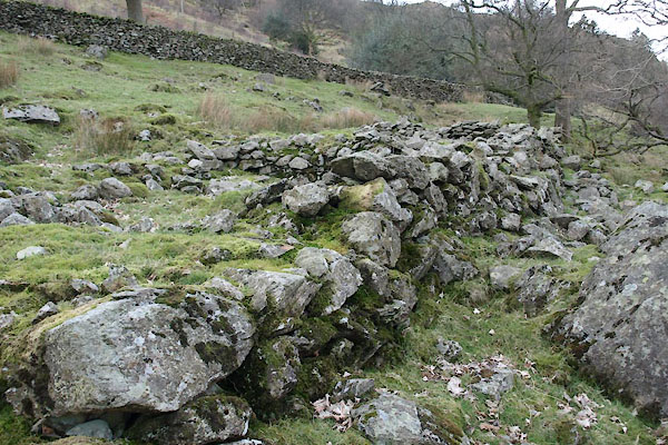 BWA92.jpg Along the E front wall. (taken 9.3.2012) 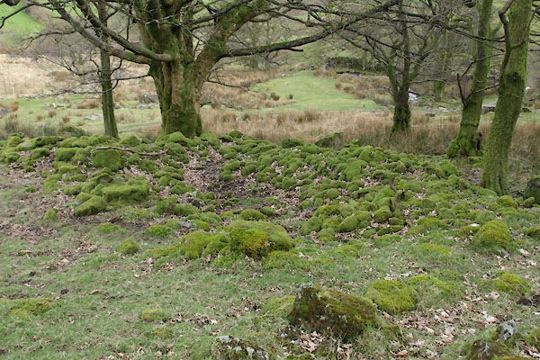 BWA94.jpg Crude inclosure to S. (taken 9.3.2012) |
||
|
|
||
 Lakes Guides menu.