Old Cumbria Gazetteer
 |
 |
|
||
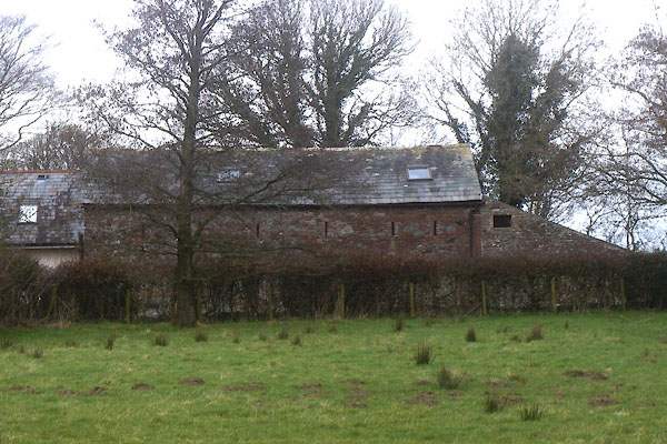
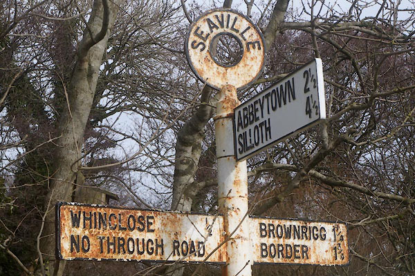
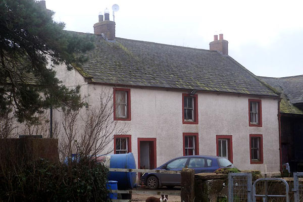
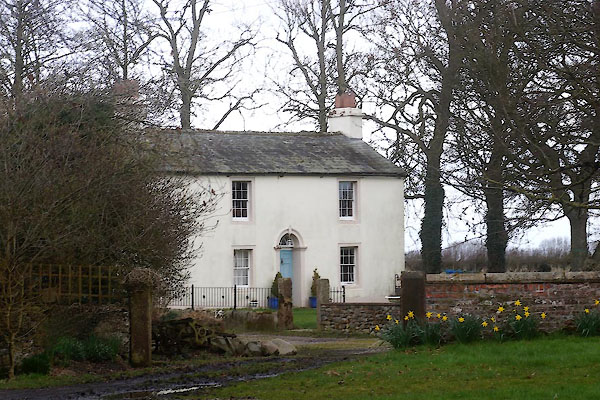
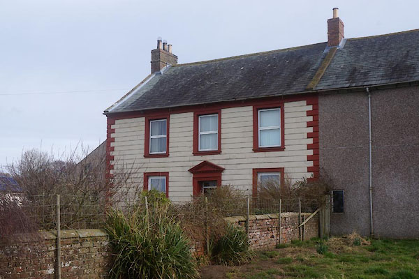
| Seaville, Holme Low | ||||
| Seaville | ||||
| civil parish:- | Holme Low (formerly Cumberland) | |||
| county:- | Cumbria | |||
| locality type:- | locality | |||
| locality type:- | buildings | |||
| coordinates:- | NY15555338 (etc) | |||
| 1Km square:- | NY1553 | |||
| 10Km square:- | NY15 | |||
|
|
||||
| evidence:- | old map:- OS County Series (Cmd 21 9) placename:- Seaville |
|||
| source data:- | Maps, County Series maps of Great Britain, scales 6 and 25
inches to 1 mile, published by the Ordnance Survey, Southampton,
Hampshire, from about 1863 to 1948. |
|||
|
|
||||
| evidence:- | old map:- Donald 1774 (Cmd) placename:- Sevill |
|||
| source data:- | Map, hand coloured engraving, 3x2 sheets, The County of Cumberland, scale about 1
inch to 1 mile, by Thomas Donald, engraved and published by Joseph Hodskinson, 29
Arundel Street, Strand, London, 1774.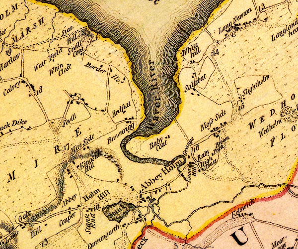 D4NY15SE.jpg "Sevill" block or blocks, labelled in lowercase; a hamlet or just a house item:- Carlisle Library : Map 2 Image © Carlisle Library |
|||
|
|
||||
| evidence:- | old map:- Post Office 1850s-1900s placename:- Seaville |
|||
| source data:- | Post road maps, General Post Office Circulation Map for England
and Wales, for the General Post Office, London, 1850s-1900s. click to enlarge click to enlargePOF7Cm.jpg "Seaville" map date 1909 |
|||
|
|
||||
| :- |
images courtesy of the British Postal Museum and Hampshire CC Museums |
|||
|
|
||||
| places:- |
|
|||
|
||||
|
||||
|
||||
|
||||
|
||||
|
||||
 Lakes Guides menu.