 |
 |
|
|
|
|
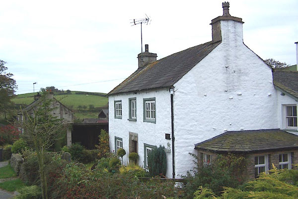
Lupton Row |
| civil parish:- |
Lupton (formerly Westmorland) |
| county:- |
Cumbria |
| locality type:- |
locality |
| locality type:- |
buildings |
| coordinates:- |
SD57398282 (etc) |
| 1Km square:- |
SD5782 |
| 10Km square:- |
SD58 |
|
|
| evidence:- |
old map:- OS County Series (Wmd 43 14)
placename:- Lupton Row
|
| source data:- |
Maps, County Series maps of Great Britain, scales 6 and 25
inches to 1 mile, published by the Ordnance Survey, Southampton,
Hampshire, from about 1863 to 1948.
|
|
|
| places:- |
 |
SD57288281 Cow Lane (Lupton) |
|
|
 |
SD57388284 High Row Farm (Lupton) |
|
|
|
SD57388246 Low Row (Lupton) |
|
|
|
SD57368277 Middle Row Farm (Lupton) |
|
|
|
SD57458248 Pant End (Lupton) |
|
