 Old Cumbria Gazetteer
 |
 |
|
| coal mine, Boltons | ||
| gone | ||
| Bolton Colliery | ||
| locality:- | Crummock Beck | |
| civil parish:- | Boltons (formerly Cumberland) | |
| county:- | Cumbria | |
| locality type:- | coal mine | |
| locality type:- | mine | |
| coordinates:- | NY22414298 (about) | |
| 1Km square:- | NY2242 | |
| 10Km square:- | NY24 | |
|
|
||
| evidence:- | old map:- OS County Series (Cmd 36 8) |
|
| source data:- | Maps, County Series maps of Great Britain, scales 6 and 25
inches to 1 mile, published by the Ordnance Survey, Southampton,
Hampshire, from about 1863 to 1948. "Colliery / Shaft" |
|
|
|
||
| evidence:- | old text:- Postlethwaite 1877 (3rd edn 1913) item:- coal |
|
| source data:- | Book, Mines and Mining in the English Lake District, by John Postlethwaite, Keswick,
published by W H Moss and Sons, Whitehaven, Cumberland now Cumbria, 1877; published
1877-1913. goto source goto sourcepage 151:- "In Cumberland, coal was probably first worked at Bolton, about the year 1567, as Robinson*states that the Copper Smelting Works at Keswick were supplied from Bolton Colliery. A little later, about 1620, it was worked for sale at Whitehaven, where its presence would readily be discovered, as some of the upper seams crop out on the sides of the valley, and it would no doubt be worked at other places in the neighbourhood shortly after that date. ..." |
|
|
|
||
| evidence:- | probably old map:- Postlethwaite 1877 (3rd edn 1913) placename:- Bolton Mine |
|
| source data:- | Map, uncoloured engraving, Map of the Lake District Mining Field, Westmorland, Cumberland,
Lancashire, scale about 5 miles to 1 inch, by John Postlethwaite, published by W H
Moss and Sons, 13 Lowther Street, Whitehaven, Cumberland, 1877 edn 1913.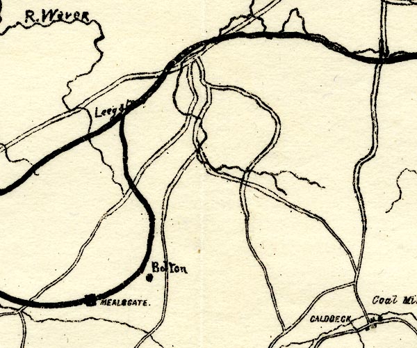 PST2NY24.jpg "Bolton" mine symbol item:- JandMN : 162.2 Image © see bottom of page |
|
|
|
||
Lakes Guides menu.