 |
 |
|
|
|
|
Burnfoot |
| locality:- |
Wigton |
| civil parish:- |
Wigton (formerly Cumberland) |
| county:- |
Cumbria |
| locality type:- |
locality |
| locality type:- |
buildings |
| coordinates:- |
NY25724857 (etc) |
| 1Km square:- |
NY2548 |
| 10Km square:- |
NY24 |
|
|
| evidence:- |
old map:- OS County Series (Cmd 29 6)
placename:- Burnfoot
|
| source data:- |
Maps, County Series maps of Great Britain, scales 6 and 25
inches to 1 mile, published by the Ordnance Survey, Southampton,
Hampshire, from about 1863 to 1948.
|
|
|
| places:- |
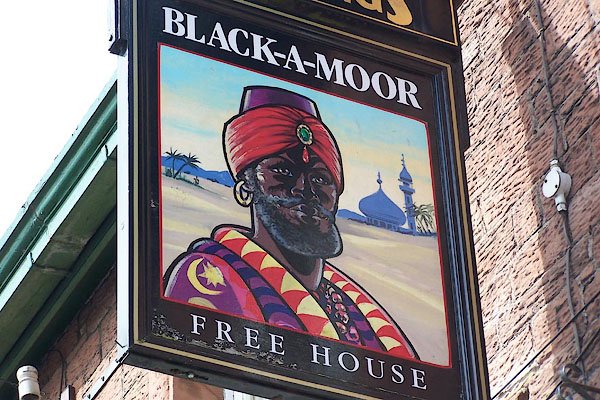 |
NY25694857 Black-a-Moor Hotel (Wigton) |
|
|
 |
NY375660 Burnfoot Airfield (Arthuret) gone |
|
|
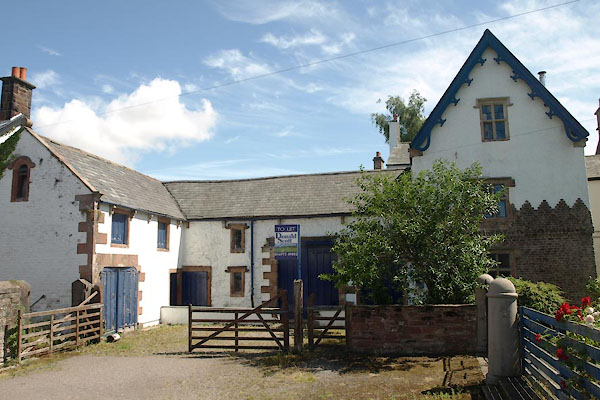 |
NY25764857 Burnfoot Grange (Wigton) |
|
|
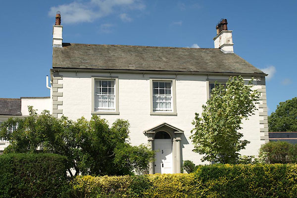 |
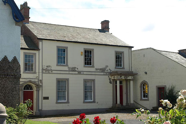
NY25794864 Burnfoot House (Wigton) L |
|
|
 |
NY25764860 Burnfoot Lodge (Wigton) |
|
|
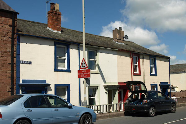 |
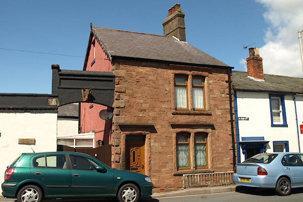
NY25754855 Burnfoot (Wigton) L |
|
|
 |
NY25754854 St Ursula's Convent School (Wigton) L |
|
