 |
 |
|
|
|
|
Beldy |
| locality:- |
Garrigill |
| civil parish:- |
Alston Moor (formerly Cumberland) |
| county:- |
Cumbria |
| locality type:- |
locality |
| locality type:- |
buildings |
| coordinates:- |
NY74254203 (etc) |
| 1Km square:- |
NY7442 |
| 10Km square:- |
NY74 |
|
|
| evidence:- |
old map:- OS County Series (Cmd 42 6)
placename:- Beldy
|
| source data:- |
Maps, County Series maps of Great Britain, scales 6 and 25
inches to 1 mile, published by the Ordnance Survey, Southampton,
Hampshire, from about 1863 to 1948.
|
|
|
| places:- |
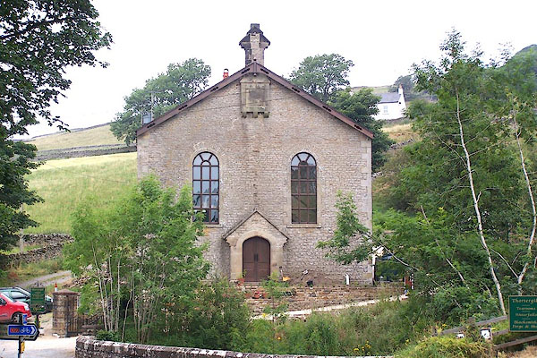 |
NY74264205 Beldy Chapel (Alston Moor) |
|
|
 |
NY74364184 Beldy Mill (Alston Moor) |
|
|
 |
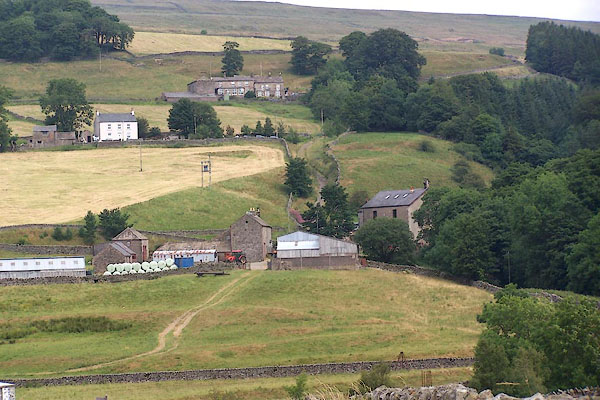
NY74294198 High Beldy (Alston Moor) |
|
|
 |
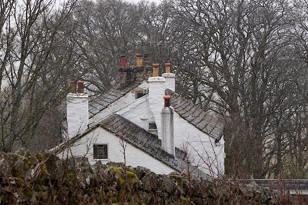
NY74214204 Low Houses (Alston Moor) |
|
|
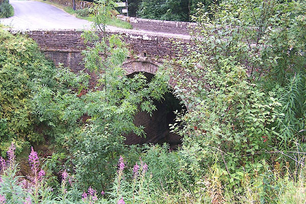 |
NY74264201 Lowhouses Bridge (Alston Moor) |
|
|
|
NY74284219 Middle Houses (Alston Moor) |
|
|
|
NY74264191 Redbrow (Alston Moor) |
|
