Old Cumbria Gazetteer
 |
 |
|
||
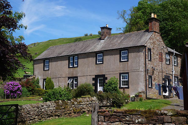
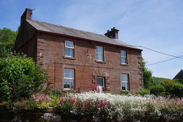
| Albyfield, Cumrew | ||||
| Albyfield | ||||
| civil parish:- | Cumrew (formerly Cumberland) | |||
| county:- | Cumbria | |||
| locality type:- | locality | |||
| locality type:- | buildings | |||
| coordinates:- | NY54805242 (etc) | |||
| 1Km square:- | NY5452 | |||
| 10Km square:- | NY55 | |||
|
|
||||
| evidence:- | old map:- OS County Series (Cmd 25 10) placename:- Albyfield |
|||
| source data:- | Maps, County Series maps of Great Britain, scales 6 and 25
inches to 1 mile, published by the Ordnance Survey, Southampton,
Hampshire, from about 1863 to 1948. |
|||
|
|
||||
| evidence:- | old map:- Donald 1774 (Cmd) placename:- Alby Field |
|||
| source data:- | Map, hand coloured engraving, 3x2 sheets, The County of Cumberland, scale about 1
inch to 1 mile, by Thomas Donald, engraved and published by Joseph Hodskinson, 29
Arundel Street, Strand, London, 1774.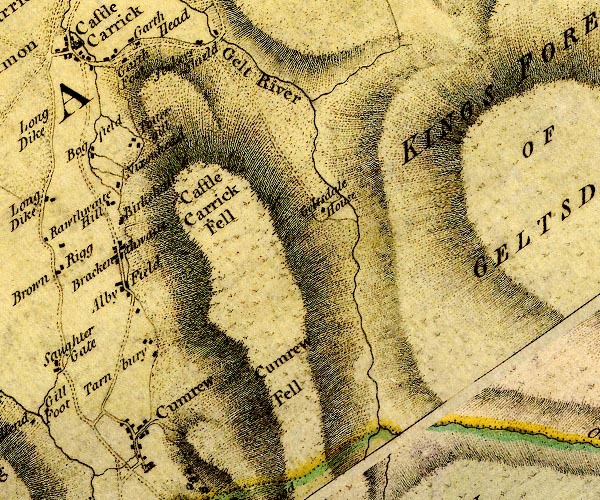 D4NY55SE.jpg "Alby Field" block or blocks, labelled in lowercase; a hamlet or just a house item:- Carlisle Library : Map 2 Image © Carlisle Library |
|||
|
|
||||
| notes:- |
various sites of early stone houses suggested |
|||
| Perriam, D R &Robinson, J: 1998: Medieval Fortified Buildings of Cumbria: CWAAS::
ISBN 1 873124 23 6 |
||||
|
|
||||
| places:- |
|
|||
|
||||
|
||||
 Lakes Guides menu.