 Old Cumbria Gazetteer
 |
 |
|
| stone wall, Crosthwaite and Lyth | ||
| locality:- | Whitbarrow Scar | |
| locality:- | Flodder Allotment | |
| civil parish:- | Crosthwaite and Lyth (formerly Westmorland) | |
| county:- | Cumbria | |
| locality type:- | stone wall | |
| coordinates:- | SD44308746 | |
| 1Km square:- | SD4487 | |
| 10Km square:- | SD48 | |
| amateur geology | ||
| stratigraphy:- | limestone | |
| stratigraphy:- | Carboniferous | |
|
|
||
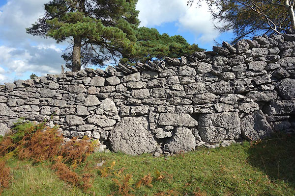 CGQ44.jpg (taken 28.9.2017) 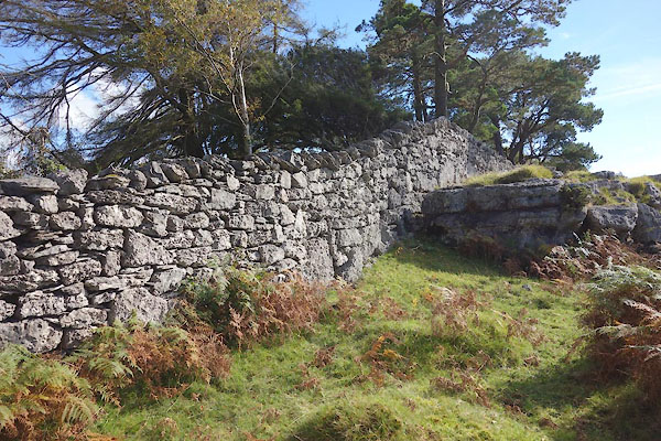 CGQ45.jpg (taken 28.9.2017) |
||
|
|
||
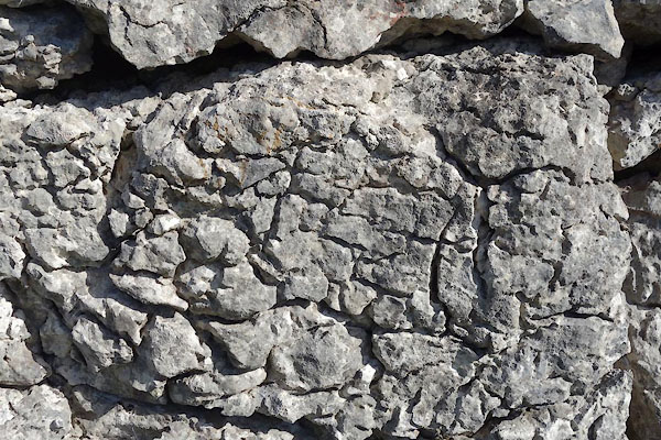 CGQ46.jpg (taken 28.9.2017) |
||
|
|
||
 Lakes Guides menu.