 Old Cumbria Gazetteer
 |
 |
|
| Scarfoot Mill, Meal Bank | ||
| Scarfoot Mill | ||
| site name:- | Mint, River | |
| locality:- | Meal Bank | |
| civil parish:- | Scalthwaiterigg (formerly Westmorland) | |
| county:- | Cumbria | |
| locality type:- | water mill | |
| locality type:- | mill | |
| coordinates:- | SD53989545 | |
| 1Km square:- | SD5395 | |
| 10Km square:- | SD59 | |
|
|
||
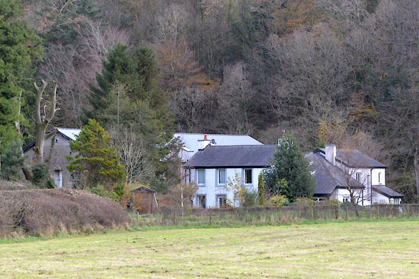 CGW21.jpg (taken 10.11.2017) |
||
|
|
||
| evidence:- | old map:- OS County Series (Wmd 34 13) placename:- Scarfoot Mill |
|
| source data:- | Maps, County Series maps of Great Britain, scales 6 and 25
inches to 1 mile, published by the Ordnance Survey, Southampton,
Hampshire, from about 1863 to 1948. "Scarfoot Mill (Dyewood) / Weir / Sluice" |
|
|
|
||
 Lakes Guides menu.