 Old Cumbria Gazetteer
 |
 |
|
| Sandfold Farm, Staveley-in-Cartmel | ||
| Sandfold Farm | ||
| Sand Fold | ||
| locality:- | Staveley-in-Cartmel | |
| civil parish:- | Staveley-in-Cartmel (formerly Lancashire) | |
| county:- | Cumbria | |
| locality type:- | buildings | |
| coordinates:- | SD37918626 | |
| 1Km square:- | SD3786 | |
| 10Km square:- | SD38 | |
|
|
||
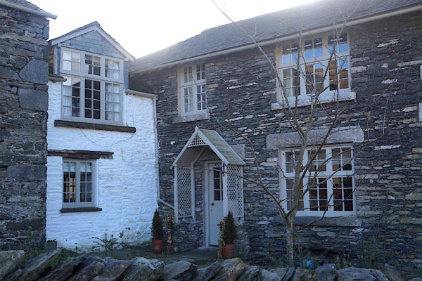 CEO37.jpg (taken 10.2.2016) 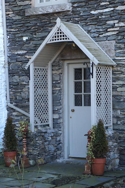 CEO38.jpg Porch. (taken 10.2.2016) |
||
|
|
||
| evidence:- | old map:- OS County Series (Lan 8 15) placename:- Sand Fold |
|
| source data:- | Maps, County Series maps of Great Britain, scales 6 and 25
inches to 1 mile, published by the Ordnance Survey, Southampton,
Hampshire, from about 1863 to 1948. |
|
|
|
||
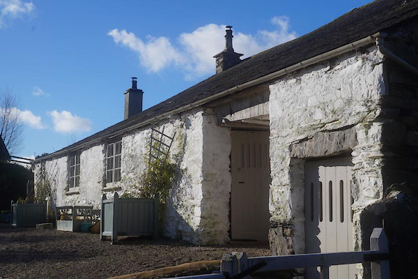 CEO39.jpg (taken 10.2.2016) |
||
|
|
||
 Lakes Guides menu.