 Old Cumbria Gazetteer
 |
 |
|
| rock exposure, Wythop | ||
| locality:- | Wythop Woods | |
| civil parish:- | Wythop (formerly Cumberland) | |
| county:- | Cumbria | |
| locality type:- | rock exposure | |
| locality type:- | geological site | |
| coordinates:- | NY21622802 (etc) | |
| 1Km square:- | NY2128 | |
| 10Km square:- | NY22 | |
| SummaryText:- | presumably exposed when the road was cut through here | |
|
|
||
| MN photo:- |
The rock is in the Skiddaw Group; mudstones, sandstones, etc. These were laid down
under the Iapetus Ocean, Lower Orovician period. |
|
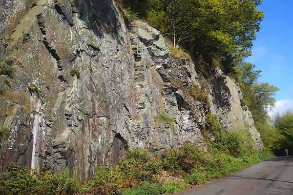 CGA61.jpg (taken 7.5.2017) 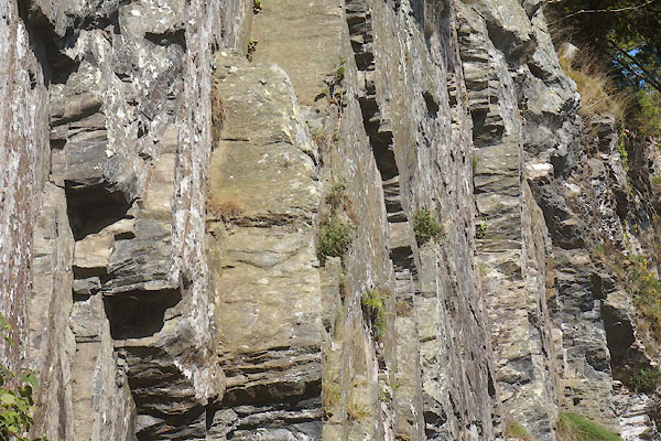 CGA62.jpg The cliff face is a cleavage plane, orthogonal to the sedimentation. (taken 7.5.2017) |
||
|
|
||
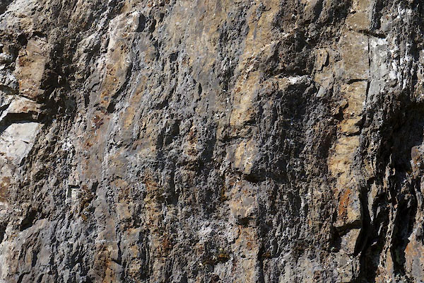 CGA63.jpg Alternating sandstone and mudstone sediments; before compression the mudstone would have been thicker. (taken 7.5.2017) 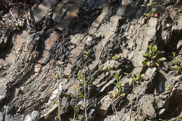 CGA64.jpg Alternating sandstone and mudstone sediments; notice the mudstone deforms but the sandstone cracks, when folded. (taken 7.5.2017) 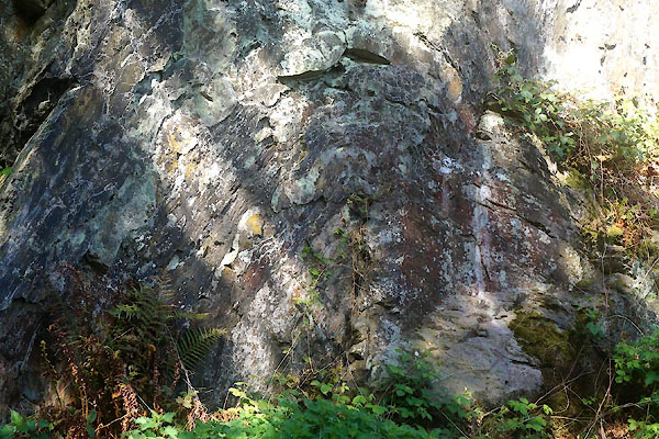 CGA66.jpg Alternating sandstone and mudstone sediments, folded, probably by the Caledonian Orogeny. (taken 7.5.2017) 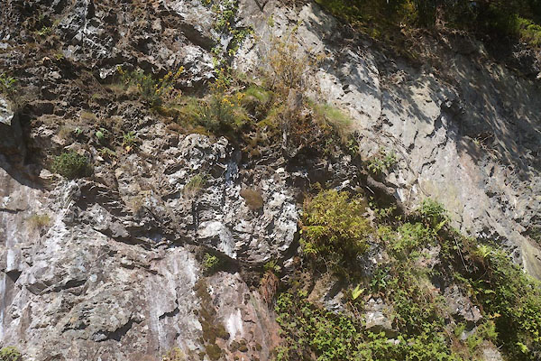 CGA65.jpg Two thrust faults. (taken 7.5.2017) |
||
|
|
||
 Lakes Guides menu.