 Old Cumbria Gazetteer
 |
 |
|
| Rectory, Warwick Bridge | ||
| locality:- | St Paul's Church | |
| locality:- | Warwick Bridge | |
| civil parish:- | Wetheral (formerly Cumberland) | |
| county:- | Cumbria | |
| locality type:- | buildings | |
| coordinates:- | NY47335628 | |
| 1Km square:- | NY4756 | |
| 10Km square:- | NY45 | |
|
|
||
| evidence:- | old map:- OS County Series (Cmd 24 2) placename:- Parsonage, The |
|
| source data:- | Maps, County Series maps of Great Britain, scales 6 and 25
inches to 1 mile, published by the Ordnance Survey, Southampton,
Hampshire, from about 1863 to 1948. |
|
|
|
||
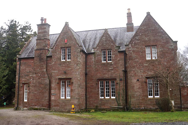 CFU02.jpg (taken 20.1.2017) 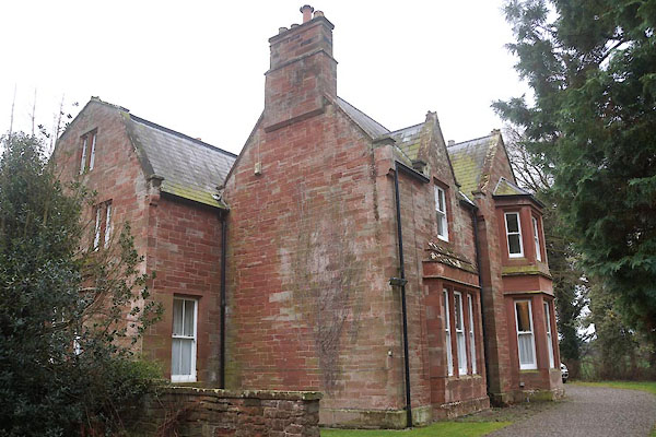 CFU03.jpg (taken 20.1.2017) |
||
|
|
||
 Lakes Guides menu.