 Old Cumbria Gazetteer
 |
 |
|
| Queens Dock, Whitehaven Harbour | ||
| Queens Dock | ||
| Queens Marina | ||
| site name:- | Whitehaven Harbour | |
| locality:- | Whitehaven | |
| civil parish:- | Whitehaven (formerly Cumberland) | |
| county:- | Cumbria | |
| locality type:- | dock | |
| coordinates:- | NX97301848 (etc) | |
| 1Km square:- | NX9718 | |
| 10Km square:- | NX91 | |
|
|
||
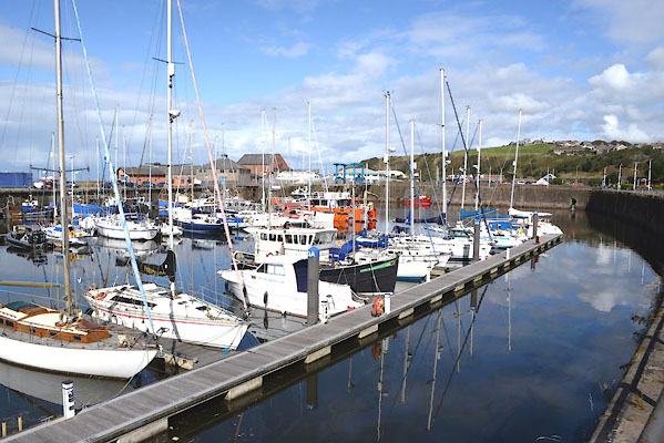 CGN69.jpg (taken 15.9.2017) 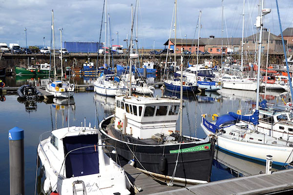 CGN70.jpg (taken 15.9.2017) |
||
|
|
||
| evidence:- | old text:- Admiralty 1933 placename:- Queens Dock item:- coal; railways |
|
| source data:- |  goto source goto sourcePage 390:- "..." "Queens dock. - Queens dock is entered, from North harbour, through a gateway with depths of 22 feet (6m7) over the sill at high water springs; this gateway is 45 feet (13m7) wide at the top of the invert (i.e. 4 feet (1m2) above the lowest level of the sill) and 47 feet 10 inches (14m3) at the 20-foot (6m1) mark." "Depths of 14 feet (4m3) are normally maintained in the dock." "The gates are usually open from one hour before until one hour after high water; they are not opened when there are depths of less than 14 feet (4m3) over the sill." "The largest vessel that had entered the dock up to 1932 was one of 2,500 tons." goto sourcePage 391:- "... There are coal mines, both northward and southward of the harbour, with direct rail services to the coal berths. Vessels can be loaded in Queens dock, by coal loader, at the rate of 300 tons an hour, ..." |
|
|
|
||
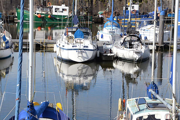 CGN71.jpg (taken 15.9.2017) 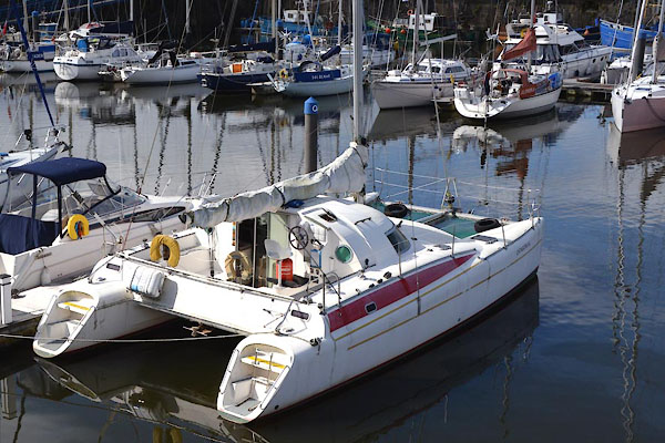 CGN72.jpg (taken 15.9.2017) |
||
|
|
||
Lakes Guides menu.