 Old Cumbria Gazetteer
 |
 |
|
| quarry, Above Derwent | ||
| locality:- | Cat Bells | |
| civil parish:- | Above Derwent (formerly Cumberland) | |
| county:- | Cumbria | |
| locality type:- | quarry | |
| locality type:- | mine | |
| locality type:- | lead mine | |
| coordinates:- | NY24911976 | |
| 1Km square:- | NY2419 | |
| 10Km square:- | NY21 | |
|
|
||
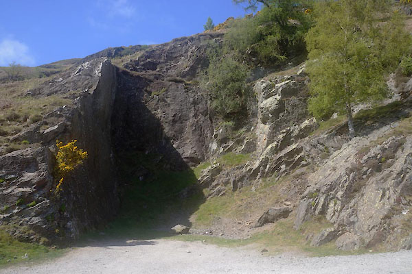 CGA67.jpg (taken 7.5.2017) |
||
|
|
||
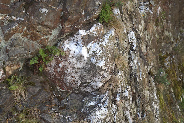 CGA68.jpg Remains of quartz seam. (taken 7.5.2017) 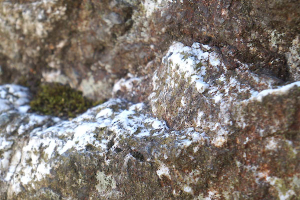 CGA69.jpg Remains of quartz seam. (taken 7.5.2017) 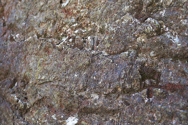 CGA70.jpg Slippensides demonstrating the direction of the fault. (taken 7.5.2017) |
||
|
|
||
| notes:- |
The quartz seam, bearing lead ore, was embedded in mudstones of the Buttermere Formation,
Skiddaw Group, in a fault whose plane can be seen in the rear face of the quarry.
The left side of the quarry went down; the right side up and the strata on that side
have thrust folds demonstrating this. The quartz is milky, showing that it was a hydrothermal
deposit. |
|
|
|
||
| seam connects to:- |  Brandlehow Mine, Above Derwent Brandlehow Mine, Above Derwent |
|
|
|
||
Lakes Guides menu.