 Old Cumbria Gazetteer
 |
 |
|
| pinfold, Setmurthy | ||
| locality:- | Setmurthy | |
| civil parish:- | Setmurthy (formerly Cumberland) | |
| county:- | Cumbria | |
| locality type:- | pinfold | |
| coordinates:- | NY18483232 | |
| 1Km square:- | NY1832 | |
| 10Km square:- | NY13 | |
|
|
||
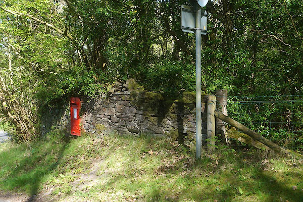 CGA48.jpg (taken 5.5.2017) 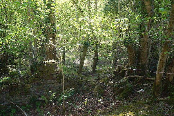 CGA49.jpg (taken 5.5.2017) |
||
|
|
||
| evidence:- | old map:- OS County Series (Cmd 46 15) |
|
| source data:- | Maps, County Series maps of Great Britain, scales 6 and 25
inches to 1 mile, published by the Ordnance Survey, Southampton,
Hampshire, from about 1863 to 1948. Outline shown; not labelled. |
|
|
|
||
 Lakes Guides menu.