 Old Cumbria Gazetteer
 |
 |
|
| Mirefoot, Strickland Roger | ||
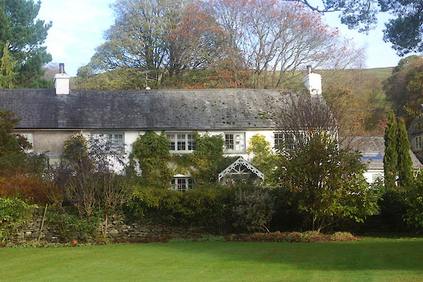
| Mirefoot | ||
| civil parish:- | Strickland Roger (formerly Westmorland) | |
| county:- | Cumbria | |
| locality type:- | buildings | |
| coordinates:- | SD49849766 | |
| 1Km square:- | SD4997 | |
| 10Km square:- | SD49 | |
|
|
||
 CFR67.jpg (taken 11.11.2016) |
||
|
|
||
| evidence:- | old map:- OS County Series (Wmd 33 11) placename:- Mire Foot |
|
| source data:- | Maps, County Series maps of Great Britain, scales 6 and 25
inches to 1 mile, published by the Ordnance Survey, Southampton,
Hampshire, from about 1863 to 1948. |
|
|
|
||
 Lakes Guides menu.